

|
Forfar & District
|
By Steve Wilson
Article published in The Scottish Mountaineer. August 2021 Edition , page 60.
Main purpose of this article is to highlight the need to get chest pains checked out!
Sun 15 August 2021 will be a memorable anniversary for me. It will be 12 months exactly since a friend and I climbed Seana Bhraigh after cycling up Strath Mulzie.
What was so special about this hill walk that left me with a lump in my throat at the summit on a warm, sunny day with incredible views in all directions?
Well, it was 16 weeks after I had heart bypass surgery – six grafts to be precise. And my first serious hill walk after the operation.
My story begins in April 2020, the day after my 63rd birthday. Remember this was in the middle of the first covid crisis when protective equipment,
intensive care beds and ventilators were in short supply, and there was great uncertainty and concern about the full impact of the pandemic.
I’d been suffering from indigestion or heartburn on and off for about 3 weeks. After a bad morning I phoned my GP. She told me to immediately
phone for an emergency ambulance in case it was a heart problem. After an initial examination and cardiogram the paramedics didn’t think I had a heart issue.
After all I appeared well, had no obvious symptoms and was not a prime candidate for a heart attack. I was not overweight, reasonably fit, had never smoked
and there was no history of family heart problems. After some discussion, the consensus was that I should go to hospital to be checked out.
It came as a shock when 24 hours later, after a multitude of tests and examinations, I was told I had indeed suffered a heart attack – I had been suffering from
angina and not as I thought heartburn! The good news, there appeared to be little damage to the heart. The bad news, I was diagnosed with chronic coronary heart
disease and required a heart bypass operation as soon as an operating theatre, intensive care bed and ventilator were available. I had my operation 5 days later.
The early stages of recovery were not easy and very frustrating. I was told to give it time and reminded that my body had undergone a ‘brutal operation’.
After around 6 weeks I was becoming more mobile but still very limited in my walking capabilities. However, day by day my distances and speed increased along
with my cardiovascular fitness. After 12 weeks I took a lot of confidence from climbing Mayar, my local munro. The trip to Seana Bhraigh was planned shortly after.
Thankfully I have made an excellent recovery and should be free of heart problems for years to come.
Why am I telling my story? There are 3 reasons:
1. Anyone who has even the mildest chest pains should get themselves checked out. Don’t like me assume it is heartburn or some other minor ailment.
If you ignore the symptoms you may not be as lucky as me.
2. Hopefully my story gives hope to anyone who is recovering from or has been told they need heart bypass surgery. You can make a good recovery.
3. Seana Bhraigh via Strath Mulzie is a super outing, particularly on a fine day. I can heartily (sic) recommend it. Although the cycle up the glen and
backdown is rather bumpy and you may loosen a few of your fillings on the way!
Stay healthy and enjoy your hill walking.
Steve Wilson - June 2021


Cancelled due to Covid-19 recommendations.
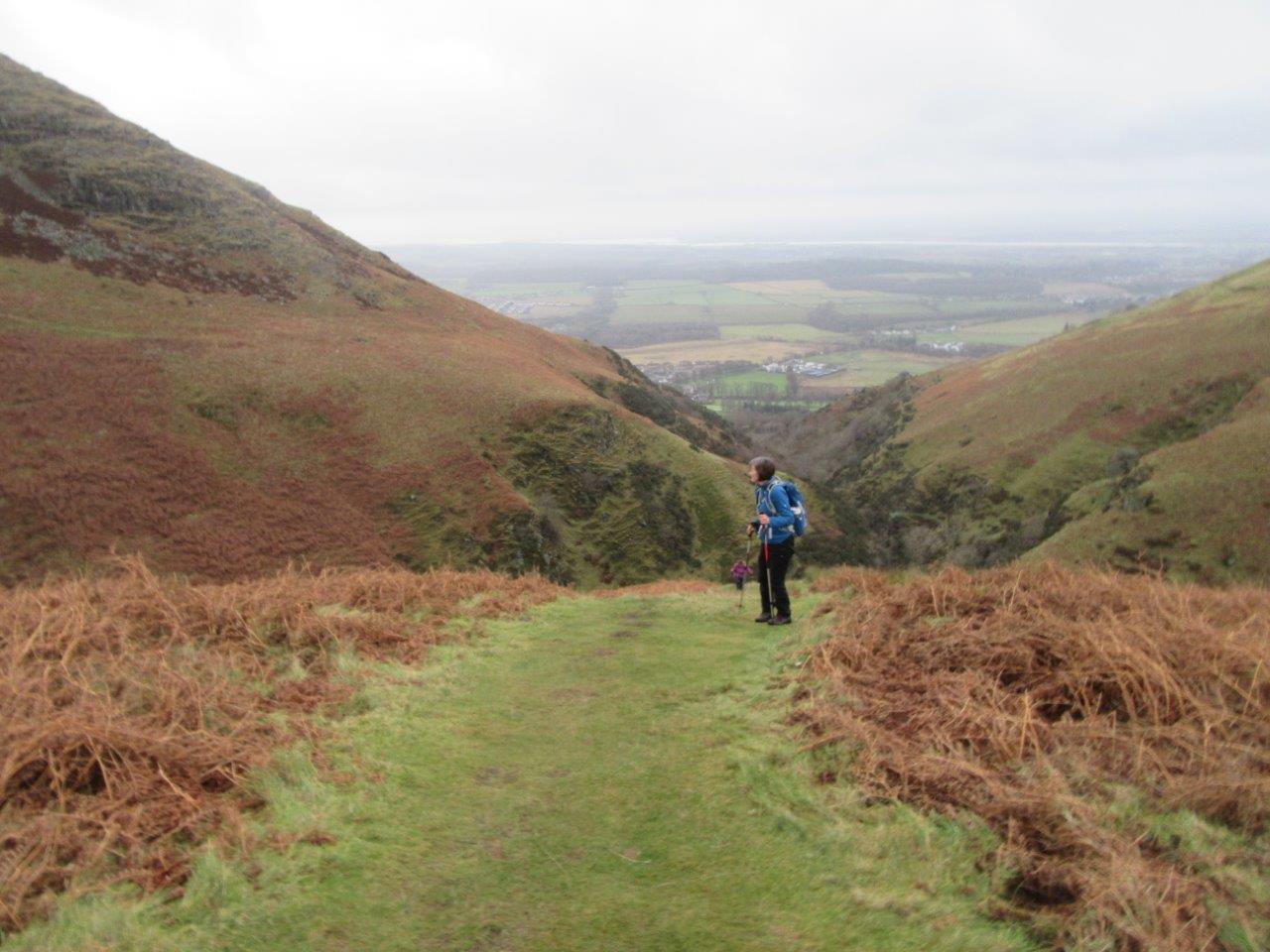
7 members attended (in 6 cars). The meet was to the southern slopes of the Ochils, referred to as The Hillfoots,
starting from the car park at the Ochils Hills Woodland Park (NS 898975).
It was 09:00 before the group finally assembled and started walking eastwards through the woods to Tillicoultry. There was a slight mistake made here,
as the meet secretary led the group along the lower path rather than the upper path! After a slight retracing of steps and a steep climb up a mud slope,
the group set out into the hills. Next mistake was to miss the path to Kings Seat! The group dropped down to a bridge then after a scramble over
slippery rocks started the ascent of The Law (638m). This was some of the steepest slopes climbed this year. Unfortunately, it was a climb into the
grey world of the clouds.
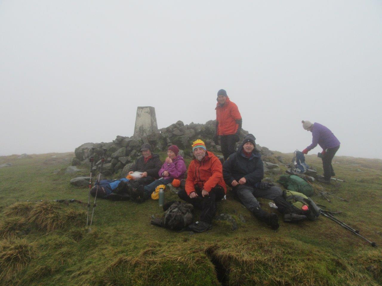
The temperature dropped dramatically on the tops, which had patches of snow and icy sections. The group carried on to the summit of Ben Cleuch (721m)
where they stopped for a lunch break.
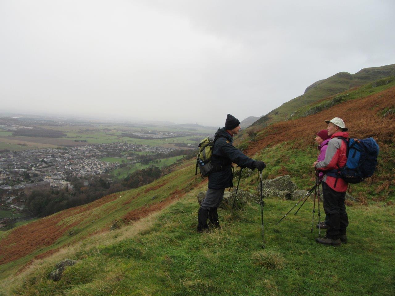
The route (still in clouds) dropped then climbed over Ben Ever (622m). On the descent to the Silver Glen, the cloud lifted and great views of the Forth Valley appeared.
Just above Alva, a path was taken into the Ochils Woodland Park and a descent through the trees back to the cars, which were reached at 14:15, just as the rain started.
Distance 10.8km, ascent 780m.
28 members and 2 guests attended. Linda & Colin Sinclair presented a travelogue of their trip to New Zealand in March/April 2019. Areas covered were Christchurch, Mount Cook area, Otago peninsula, Milford Sound, Queenstown and the Routeburn Trail, Fox Glacier, Arthur's Pass and the Tongariro Alpine Crossing.
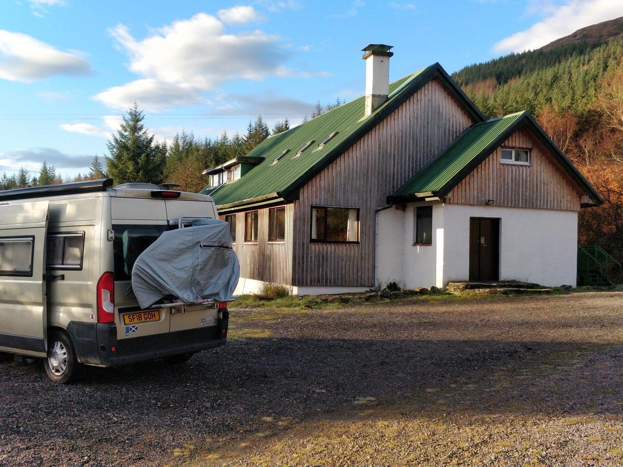
14 members attended. Based at the Glencoe Ski Club Hut.
Arrived Friday evening in very wet conditions, wondering what lay ahead. It turned out to be a good weekend weatherwise, and a good
accommodation in a great location.
Saturday
3 groups out. Sat started damp with low cloud, but it cleared during the day with just a few showers blowing through.
A group of 5 set off for the Corbett, Beinn Mhic Mhonaidh (796m) in Glen Orchy. They encountered swollen burns, but 3 did manage to reach
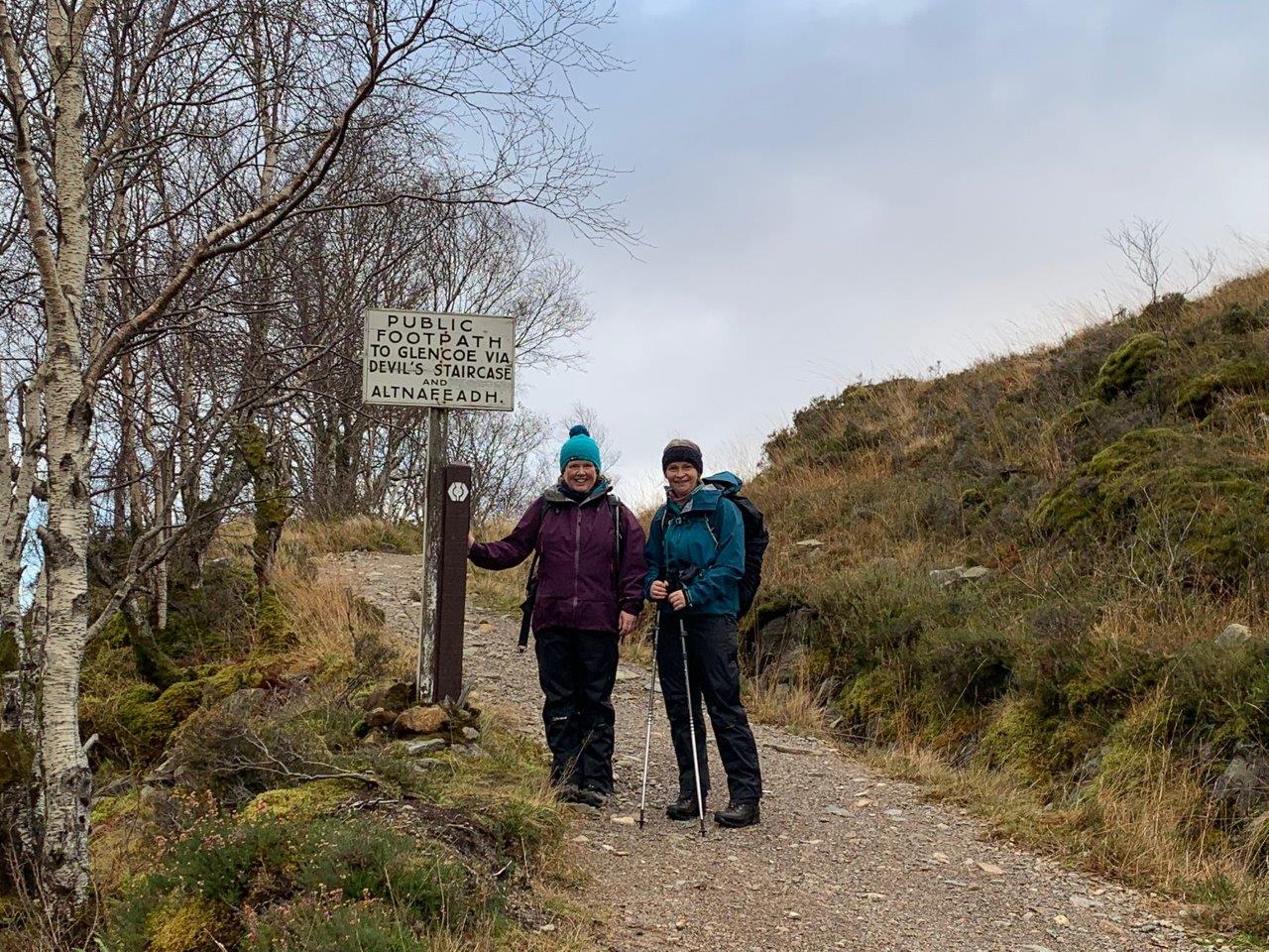
the summit. Another group of 5 dropped cars at Kingshouse Hotel, and drove round to Kinlochleven, to walk part of the West Highland Way (WHW)
back to Kingshouse. The remaining group of 4 set off from the hut, and followed the WHW northwards. 2 turned back at the high point (1 then went cycling).
The remaining 2 carried on to Victoria Bridge and went westwards for a while before returning by the road.
Sunday
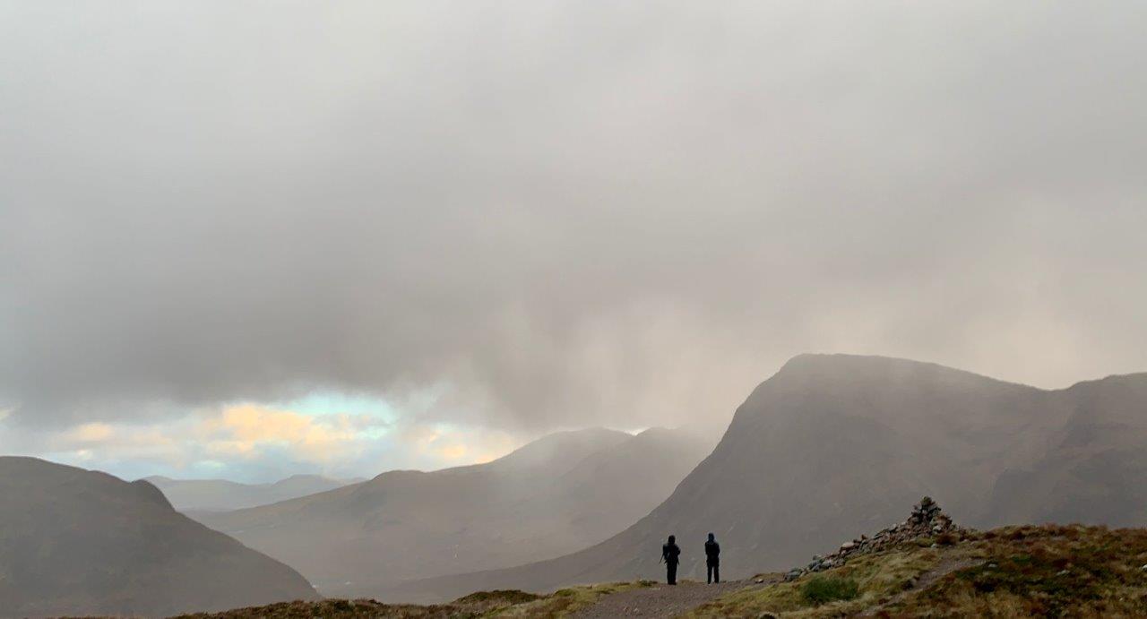
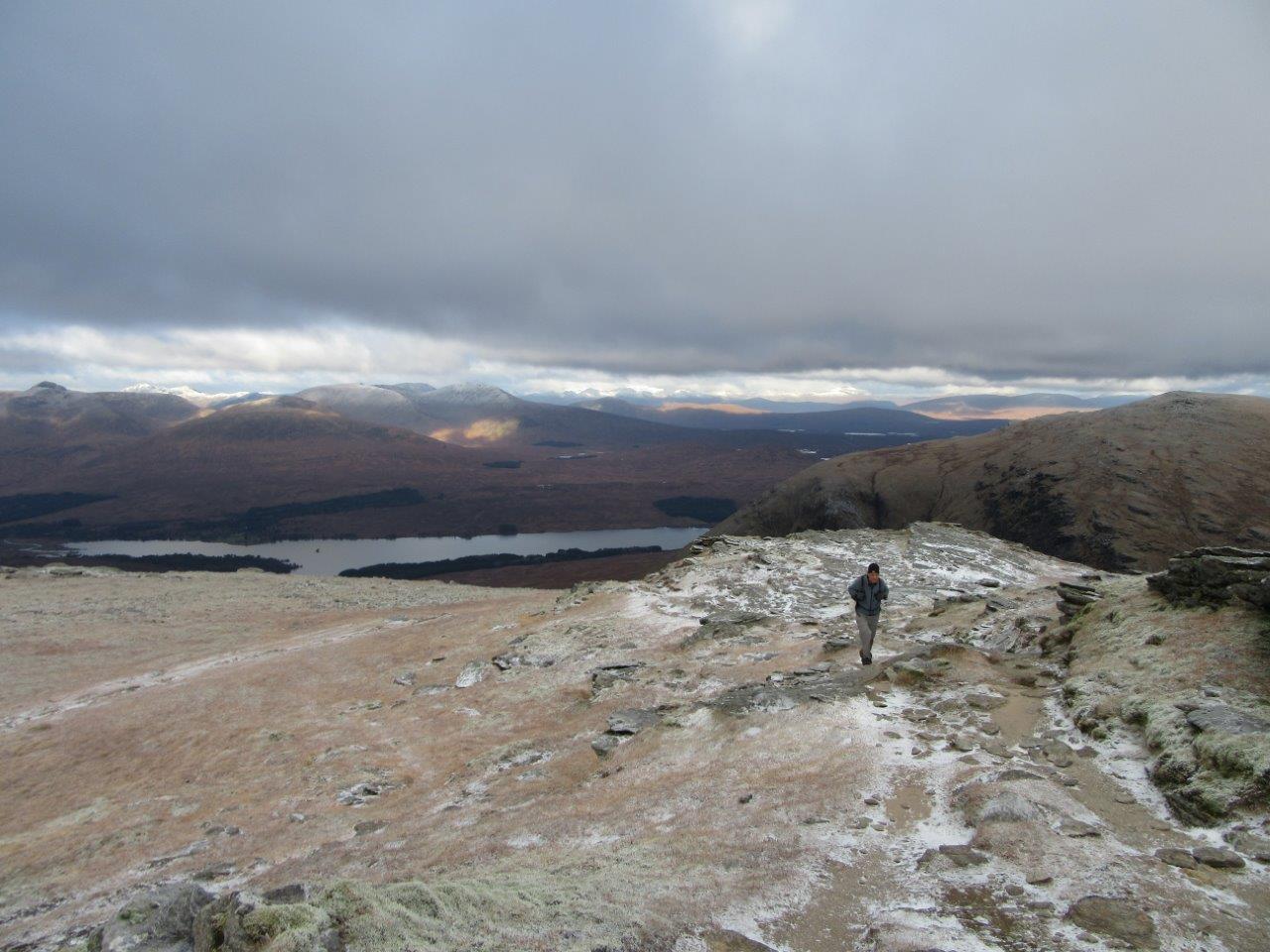
A frosty morning. Icy higher up with a dusting of snow and feeling bitterly cold in the NW wind. But clear skies with fabulous view of the snowy tops.
A group of 3 climbed Beinn Dorain (1076m) with 2 carrying on to climb Beinn an Dothaidh (1004m). A group of 2 climbed both Munros of Buichaille Etive Beag
(925m & 958m). Another group of 2 climbed Meall a' Bhuiridh (1108m) with one carrying on to climb Creise (1100m). One group of 2 had a low level walk
in Glen Orchy, walking from the waterfall to the old buildings on Lairig Hill. Another group of 2 had a low level walk from Kingshouse Hotel back to the hut
via the WHW. One headed off to see friends in Taynuilt.
Mon
6 stayed overnight. Another frosty clear morning, but clouded in during the day. One member climbed Ben Vane (916m). One climbed Beinn nan Imirean (849m).
The other 4 headed home.
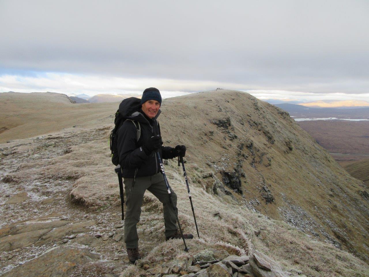
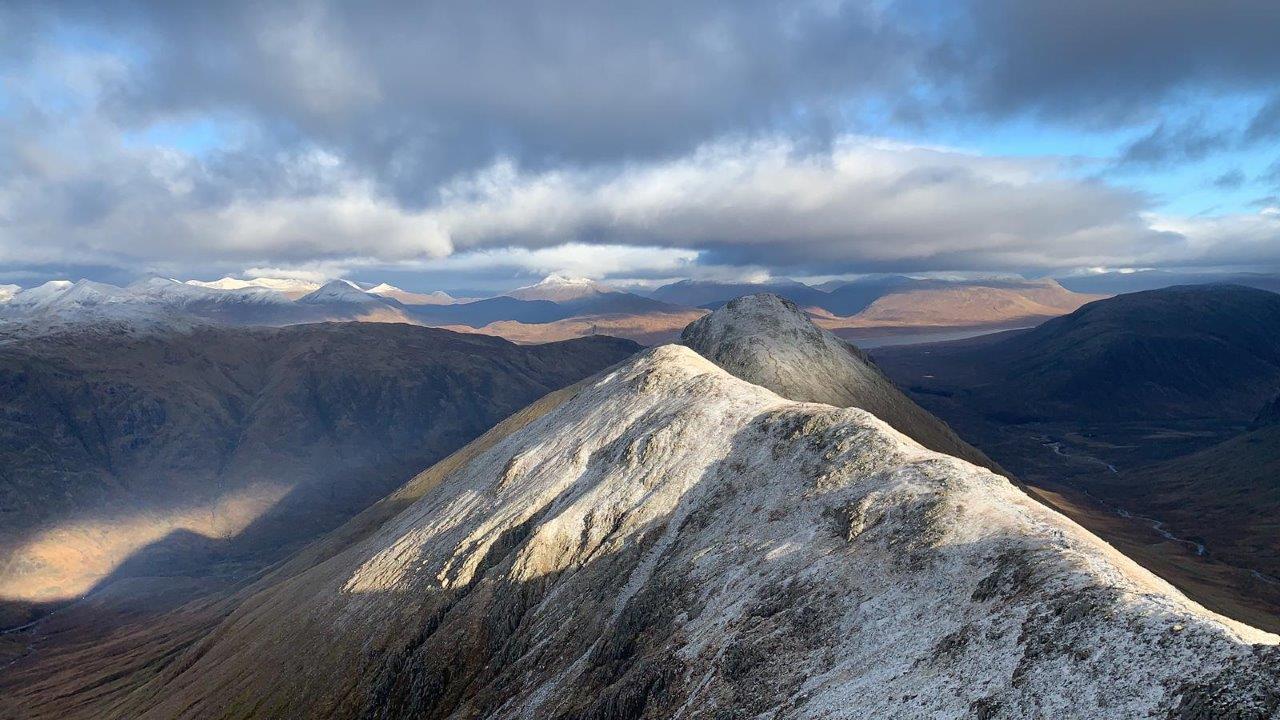
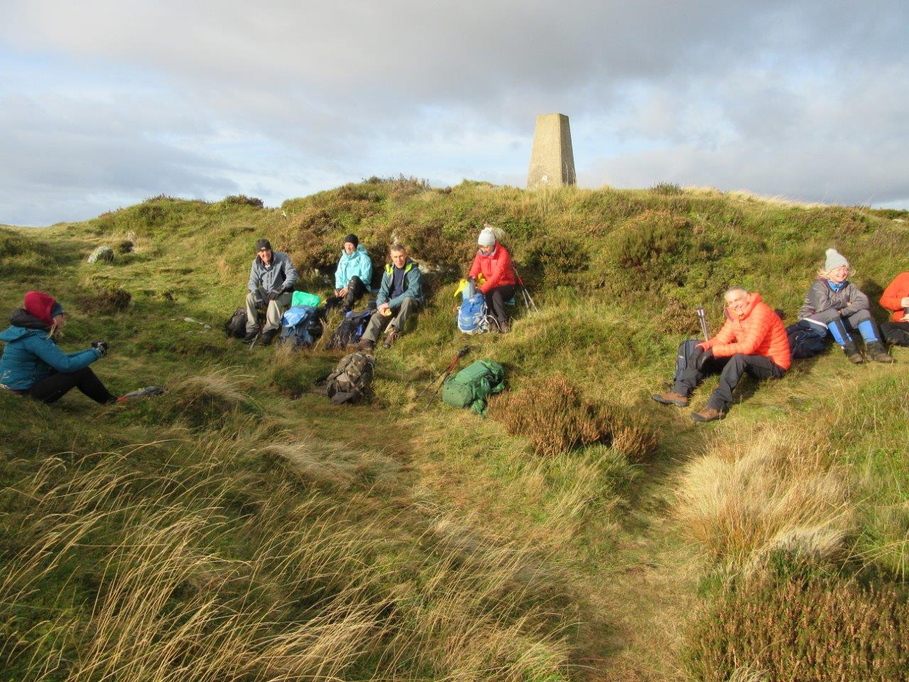
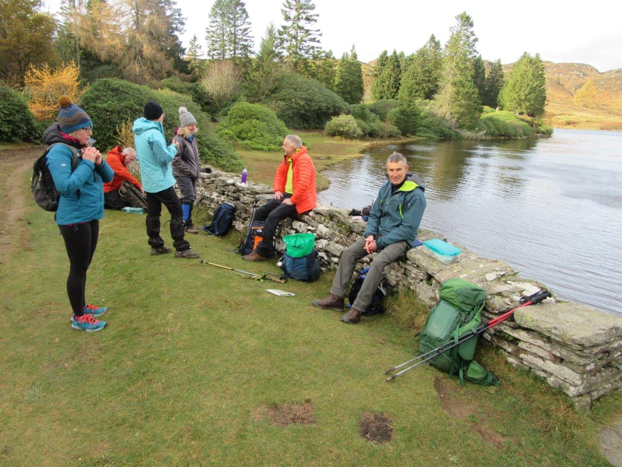
9 members attended. Originally, Lochnagar was the planned location of this meet but it was changed because of extremely high winds.
5 members met at the Myre car park at 08:00, picking up another on the way and meeting the others at 09:00 at the layby at
the Loch of Craiglush. Walking started at 09:10 and followed the track up to Mill Dam. There has been lots of tree
felling, so the views opened up quickly to reveal the lovely autumnal colours. From Mill Dam, the route followed the
upper Loch Ordie track then cut off eastwards to reach the southern slopes of Deuchary Hill. The trees in this section have matured
since the last club trip. From the bend in the path, the route went northwards up a wee burn. The meet secretary overshot the preferred route, so the final
approach to the summit of Deuchary Hill (510m) was from a westerly direction! The views all around were very bonny, with snow lying on the higher tops of the hills in
the west and north. The summit was very windy, so the group hunkered down in the lee of the trig point for a break. Leaving there, they
headed north to Lochan nan Beinne and dropped down a lovely grassy track to join the track leading to the lodge at Loch Ordie. This is
always a lovely spot to have lunch, which they had just after midday. The return route was by Raor Lodge to Mill Dam and back to the cars at 14:10.
Distance 16.4km, ascent 550m. A windy day, but dry and clear. Good views. A Canada Goose, several goosanders, goldeneye and Sika deer spotted.
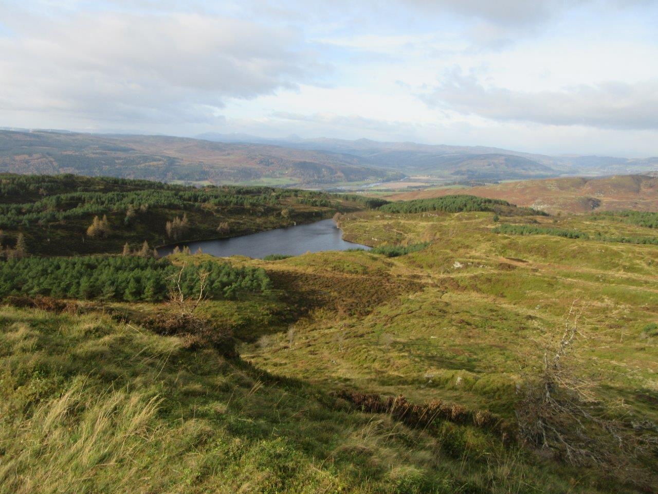
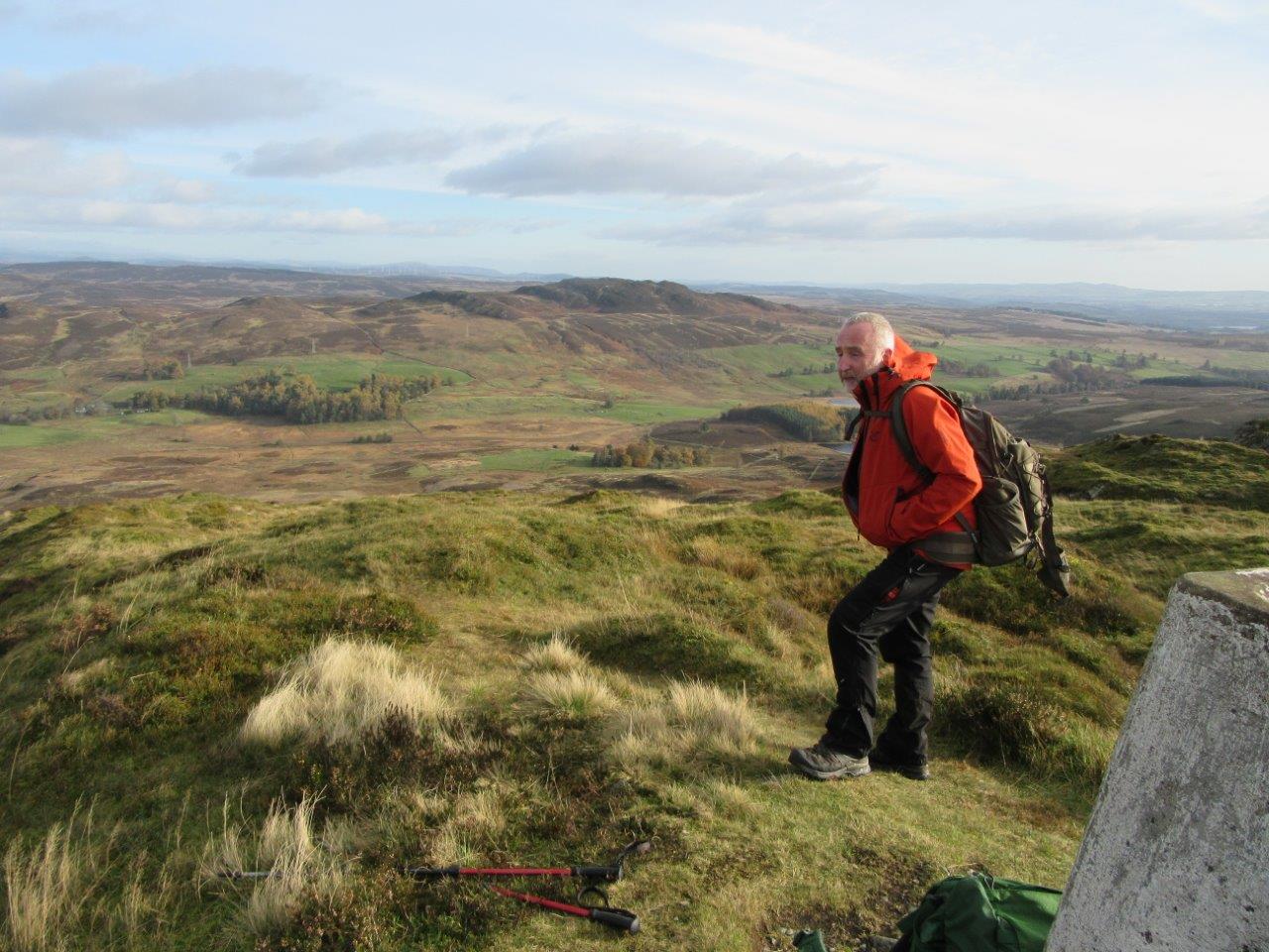
18 members attended. After the lantern competition results were announced, Sheila had to leave the meeting. Ray and Carolyn were quizmasters. They'd put together a quiz of 9 rounds which included photos, map symbols, company/product combinations, long distance footpaths, textual descriptions of routes to hills, wild flowers, bothies, outdoor facts, and a dastardly photo memory set of questions. Graham B and Colin tied with the highest score of 52 (out of 71). The tie-breaker was to list the 5th to 10th highest Scottish Mountains (1 to 4 were provided). Both listed all the hills, but Graham won with 1 in the correct order! He receives the quiz trophy and a chocolate orange. Well done, Graham. And well done Carolyn and Ray for presenting us with a very interesting and varied quiz.
6 members entered. The 14 photos were provided to the judge, Sheila Mather. The result was announced before the quiz started on Nov 1st. Sheila thought that they were all good and found it difficult to choose. However she finally opted for entrant "E", Lesley McKenzie. Well done Lesley. She receives her prize of a neep cup!


12 attended, 11 members and a guest. The purpose of the meet was to complete our part in “The Munro Table Project”.
It was originally intended to take place in 2020, but delayed because of our shutdown. Here are 3 pages that explain the project.
Making a mountain out of Munro’s memory
The Munro Table - Info
You can see here that we have hills 1 and 2
The walk was to be recorded for inclusion in a book about the project (allowed 2 pages) :- flora, fauna, photos
of group, photos of views. In addition, we had to carry out a litter-pick.
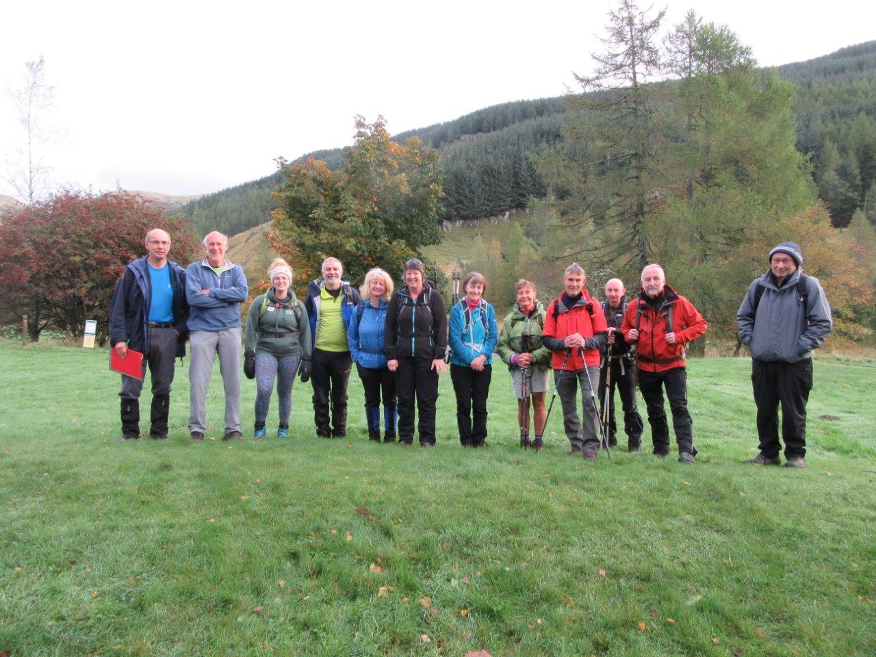
9 of the group met at Dykehead at 08:30 and travelled up in 4 cars, meeting the other 3 in the car park.
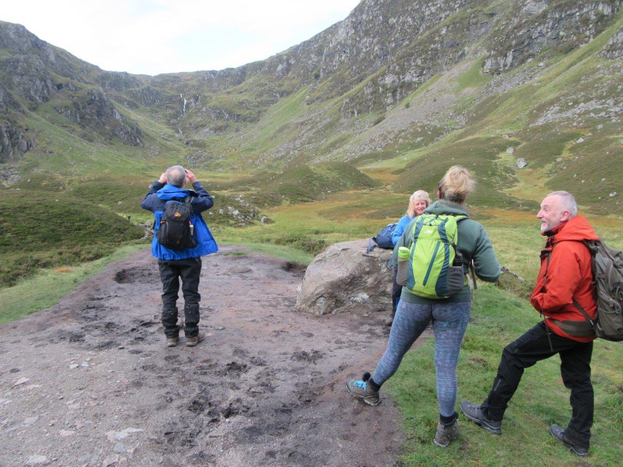
The group set out from the busy Glen Doll car park at 09:05, in pleasant conditions, which turned breezy as they emerged from the trees
into Corrie Fee. It was busy on the path. The summit of Mayar was reached at 11:00, and views were extensive to the north, east and south, but the western
hills were blotted out. By this time a strong wind was blowing. Our first break was taken over the side of Mayar in the shelter of the wind.
The walk to Driesh was made easy by the strong wind on our backs. Driesh was even busier than Mayar. There must have been well over 100 folk on top or
en route. Left Driesh at 13:00 and retraced steps to the Kilbo Path, where the descent was made to the trees. By this time a few light showers had blown
through. A pleasant walk through the trees followed, and the group reached the car park at 15:00.
There was definitely more human life than wildlife to be seen. The only wildlife spotted was a small herd of roe deer below Mayar, and several ravens on Driesh.
Distance 14.0km. Ascent 890m.
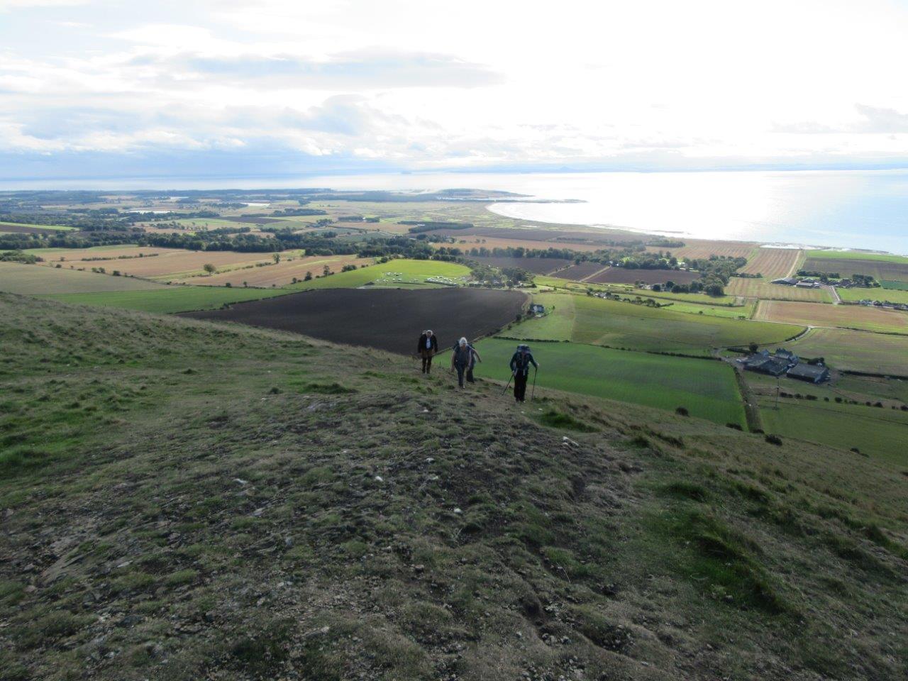
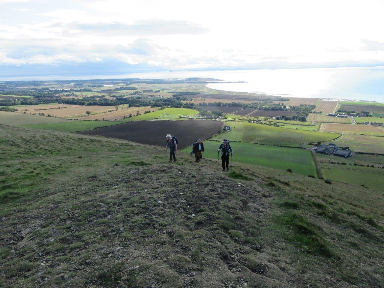
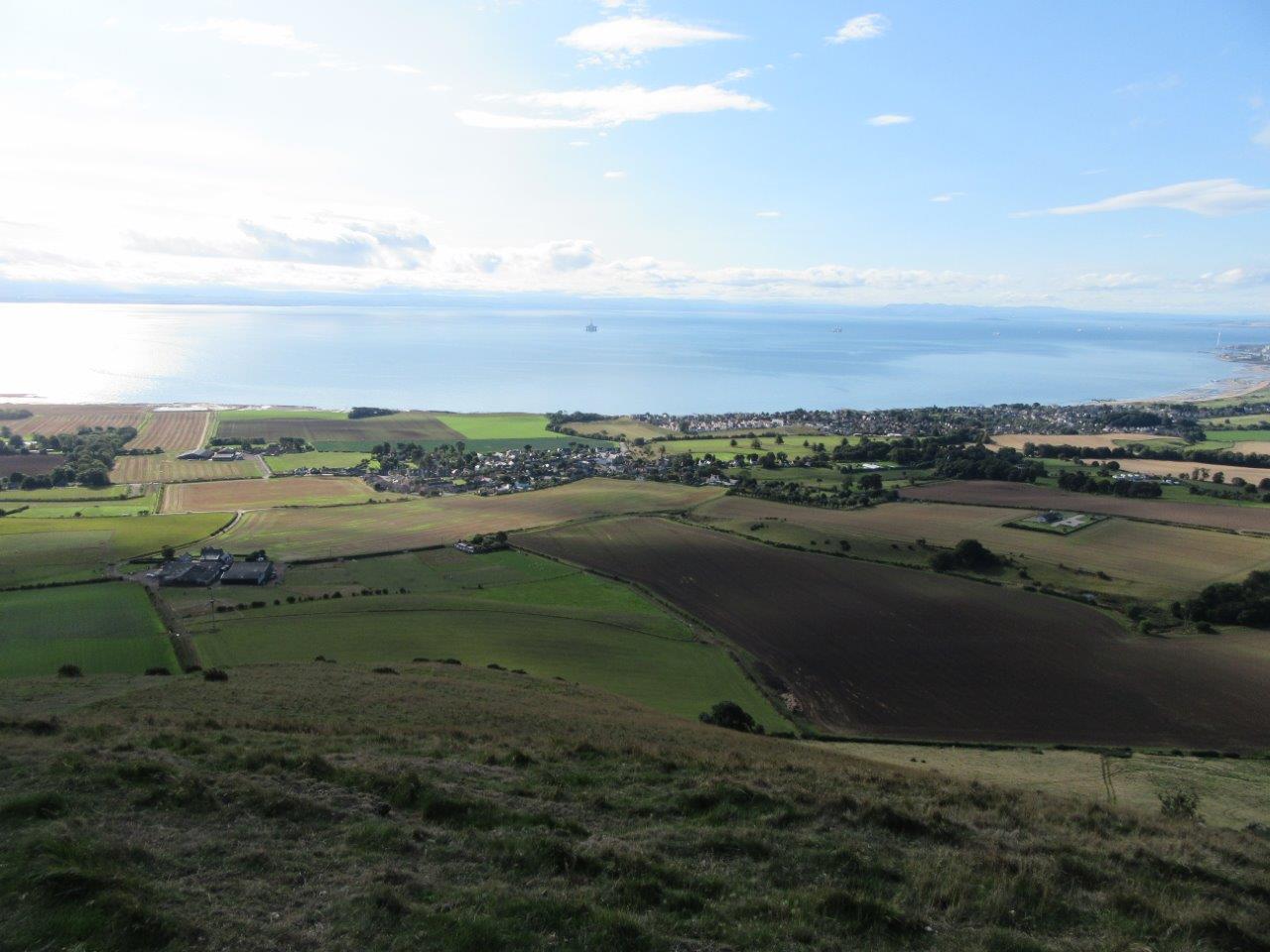
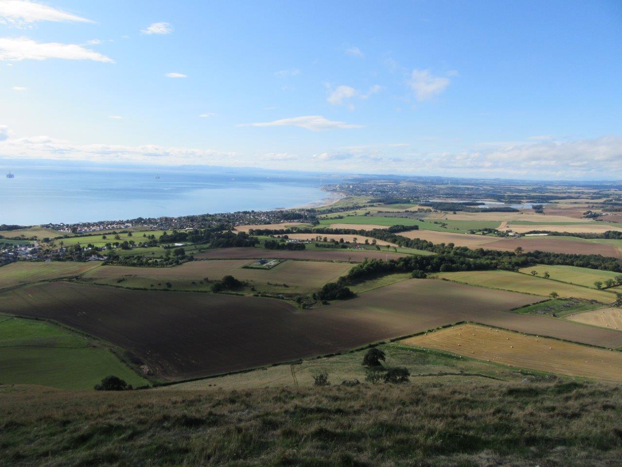
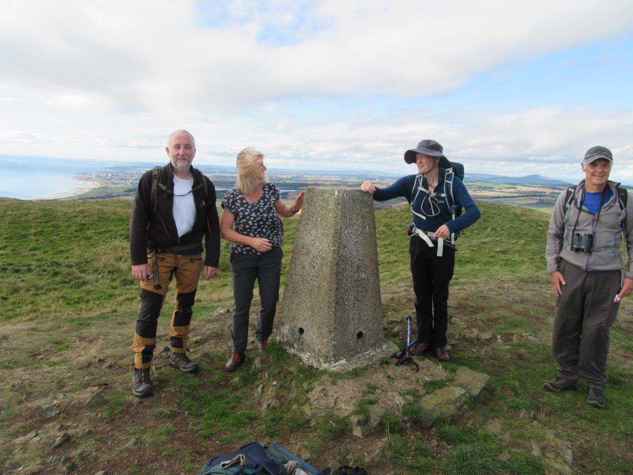
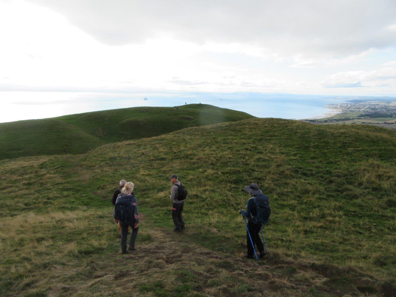
5 members attended. 4 members met at 09:30 at the car park on the south side of the Tay Road Bridge, and travelled in 2 cars to Lower Largo, where they met up with another member. It was an idyllic morning on the Costa Fife as the group set off at 10:15 eastwards along the Fife Coastal Path. The route soon left this and went northwards to Upper Largo along farmtracks and right-of-ways. After tramping through the village to the cemetery, the route continued upwards to a farm, then climbs very steeply to the lower top. Fantastic view appeared of the Forth estuary. Then there is a wee dip as we climbed to reach the trig-point at the summit at 11:45. (290m, from sea level). A short break was taken here as the group looked northwards to Arbroath, Dundee and even Schiehallion in the distance. The route was retraced down the steep slopes to Upper Largo, then after a brief period on the road, the group followed the den back to the car park, reached at 13:00. We found a picnic table and had lunch before departing home. Distance 8km. Ascent 320m.
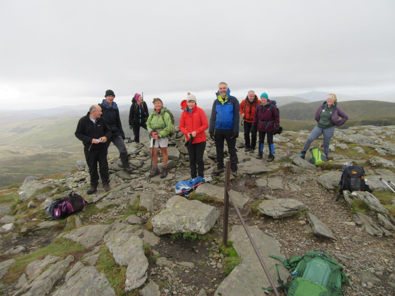
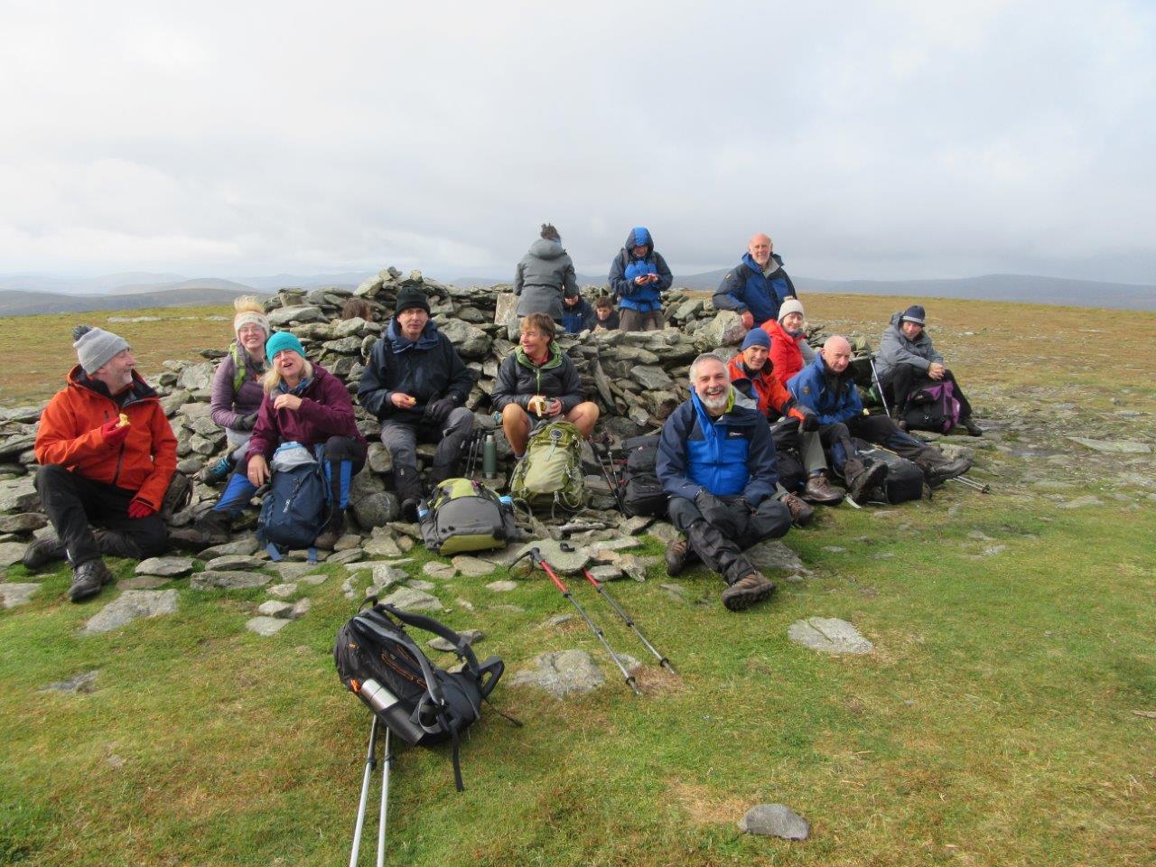
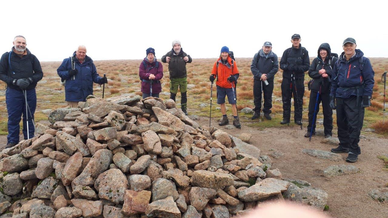
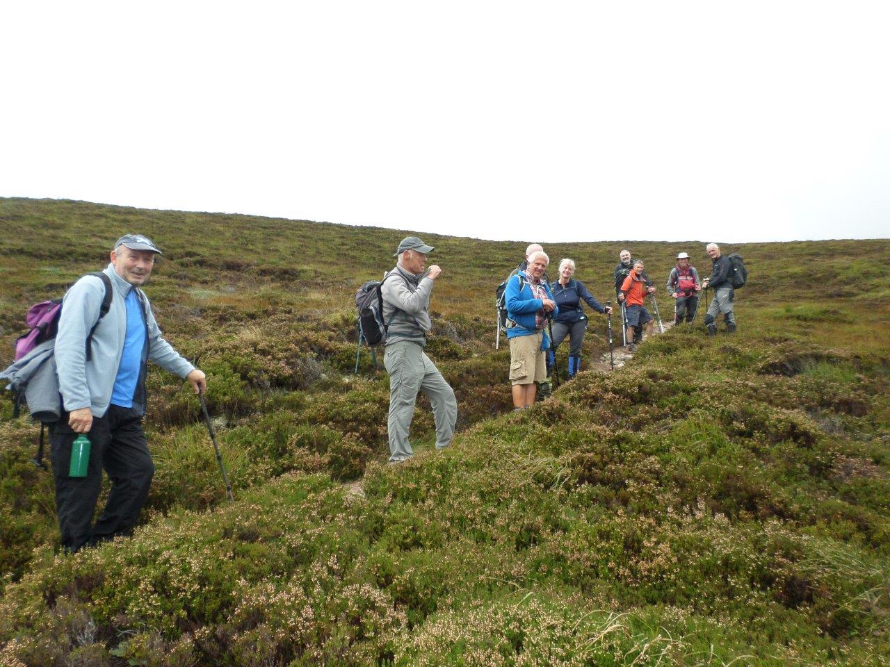
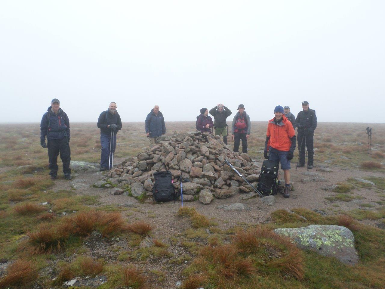
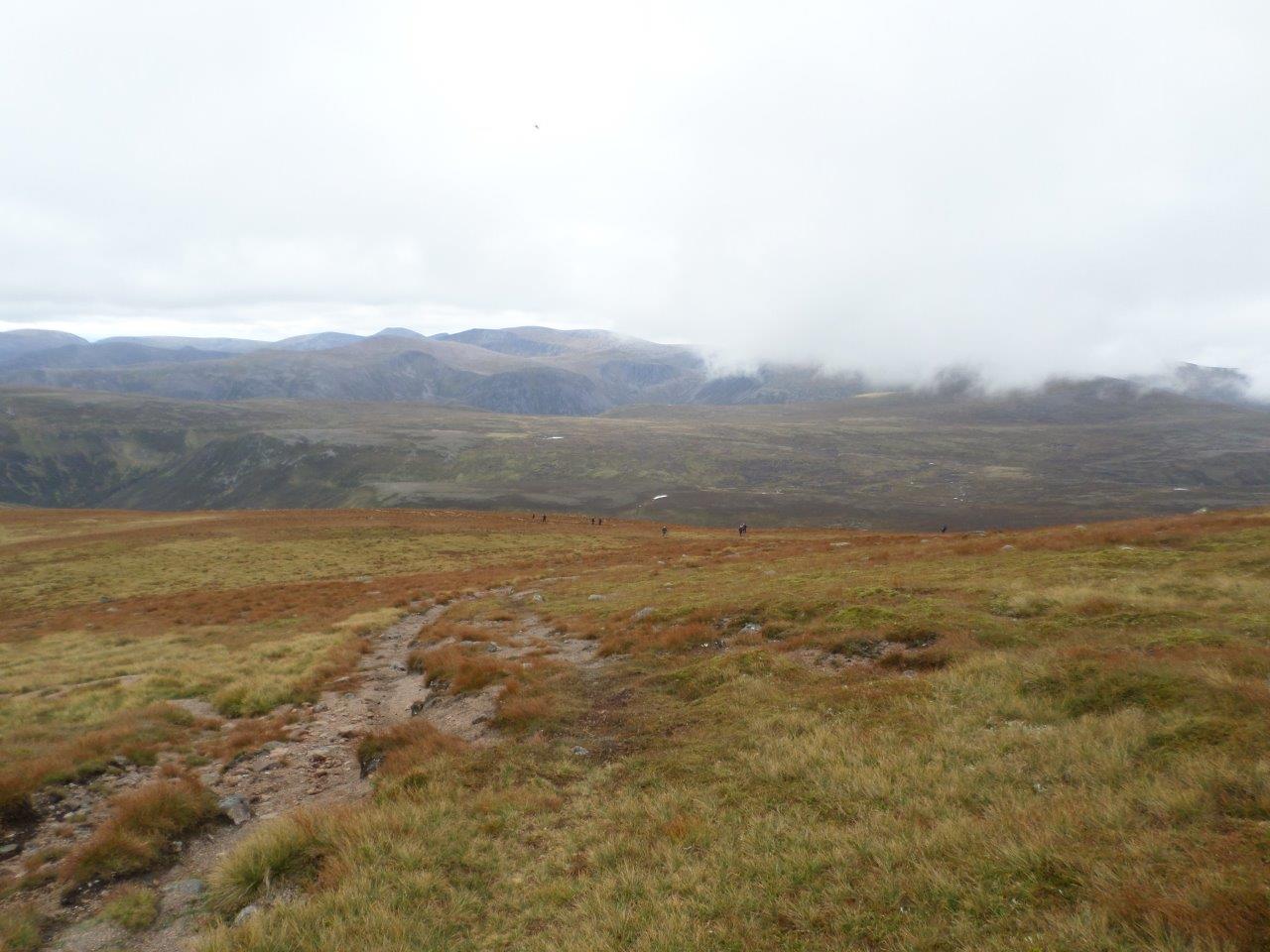
10 members attended. 9 members met at 7am in the Myre car park in Forfar and used 5 cars to travel to Linn o' Quoich where we met another member at 9am. We soon set off through the Scots pines on a forest road for the first few miles up Glen Quoich then on to the shoulder of Beinn a' Bhuird reaching the top and stopping for lunch in the low cloud at 1pm. As we finished lunch the cloud cleared and we were rewarded with fantastic views of many of the Cairngorm Mountains including Ben Avon and Beinn Mheadhoin. We then made our way back down the same route of ascent noticing the lovely smell of the Scots pines as we made our way through the trees. Reaching the car park just after 5pm. Wildlife seen on the day included a covey of 5 ptarmigan, several mistle thrushes and wheatears.
8 attended. A brief open meeting was followed by a chat.
6 attended (4 members, 2 guests). Met at Balsporran Cottages, Drumochter for this day meet, 4 congregating at the Myre for the rather novel
concept of car-sharing and the other 2 making their own way direct.
The forecast of possible localised showers proved to be correct on the journey up the A9 but the walkers needn’t have worried as this turned
out to be the only rain of the day.
The leisurely chat while changing into boots was brought to a sudden end when an invasion of midges chased the walkers on their way.
After taking a compass bearing the group set off across the A9 onto the pathless moor at 8.50am.
A short but steep climb then took the group on to the plateau at Meall a’ Chaorainn. The plateau at this stage was in cloud so a bearing
for the top of A’ Bhuidheanich Bheag was taken. However the cloud lifted a short while later and revealed the trig point in the distance.
After a brief stop, the walkers moved on in a northerly direction and enjoyed a very pleasant walk across the plateau, with the old boundary
fence posts occasionally helping to guide them on their route. The views were opening up now with An Dun prominent to the east and the Fara
and Ben Alder showing up well to the west. Further on, glimpses of Loch Ericht and Dalwhinnie could be seen. After about four hours,
Carn na Caim, the second summit of the day, came into view. The walkers stopped here for a well-deserved lunch break, with the best views
now being to the north, with Meall Chuaich in the foreground and the expanse of the Cairngorms in the distance. From here the walkers
retraced their steps for about 3 kilometres and descended by the quarry track. Once almost down, they made use of the track constructed
for the installation of the pylons, heading south before crossing the road to the cycle track which took them back to the cars just before 4pm.
Numerous golden plovers were seen on the plateau and, a relatively rare sight these days, a family of 5 ptarmigan.
Distance : 18km, ascent 800m.
10 attended (9 members and a guest), meeting at the car park at Balkello Woods at 7.30pm. Clare led the way, heading up to the dyke then westwards on a gradual climbing path to reach the summit of Auchterhouse Hill (426m) from the west side. Fantastic views were had all round. Then a descent eastwards to the Windy Gates before a short steep climb to the viewpoint on Balkello Hill (397m). There was a bit of confusion about the descent route, but eventualyy we found the track heading south eastwards, then turning back to the woods and the car park , reached at 9.30pm. Distance 6.2km, ascent 300m. Beautiful summer's evening.


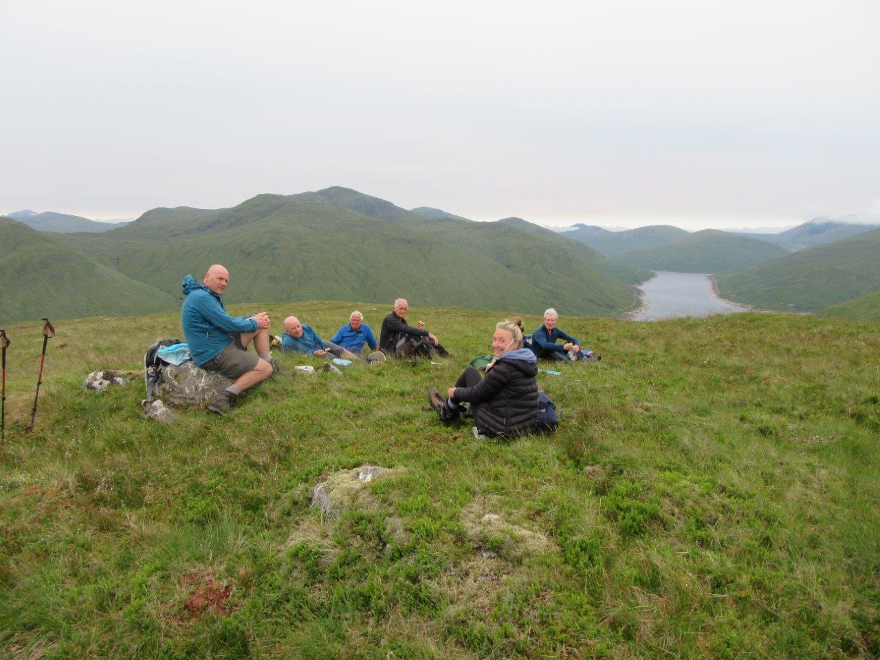
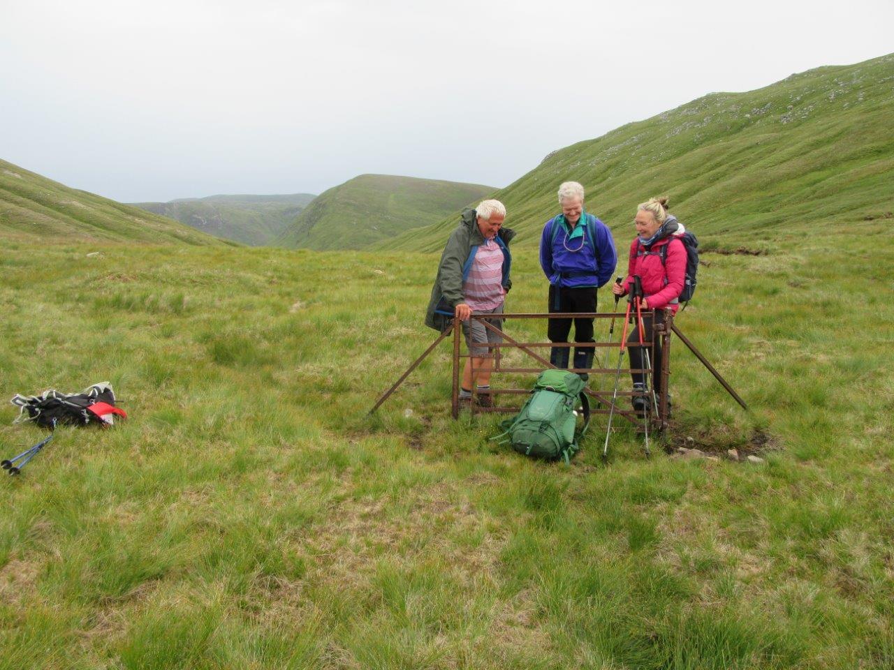
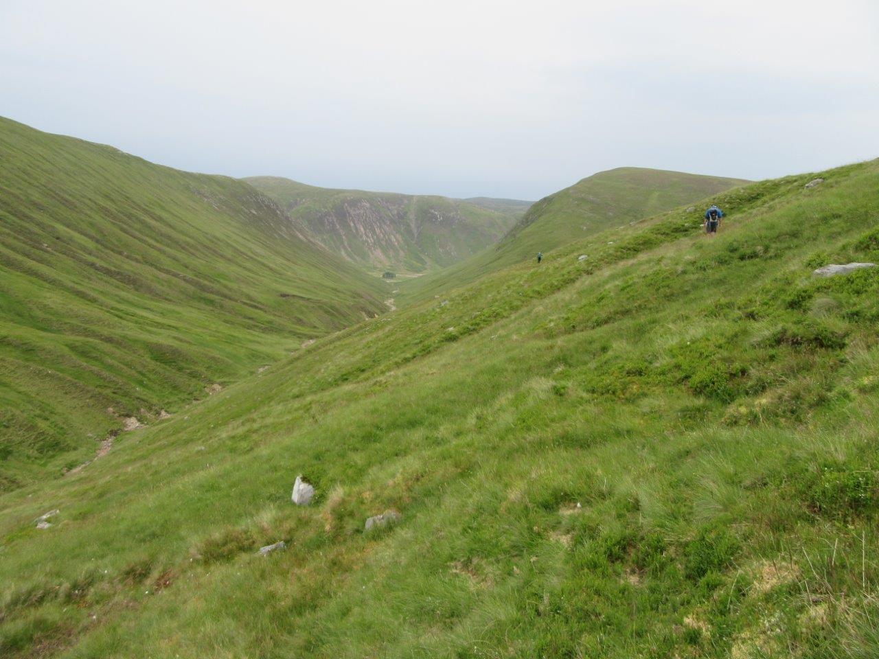
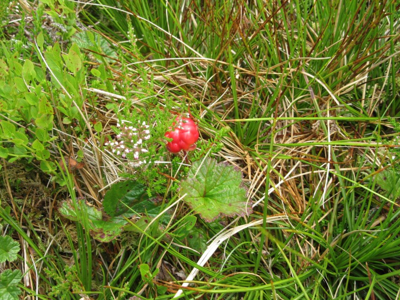
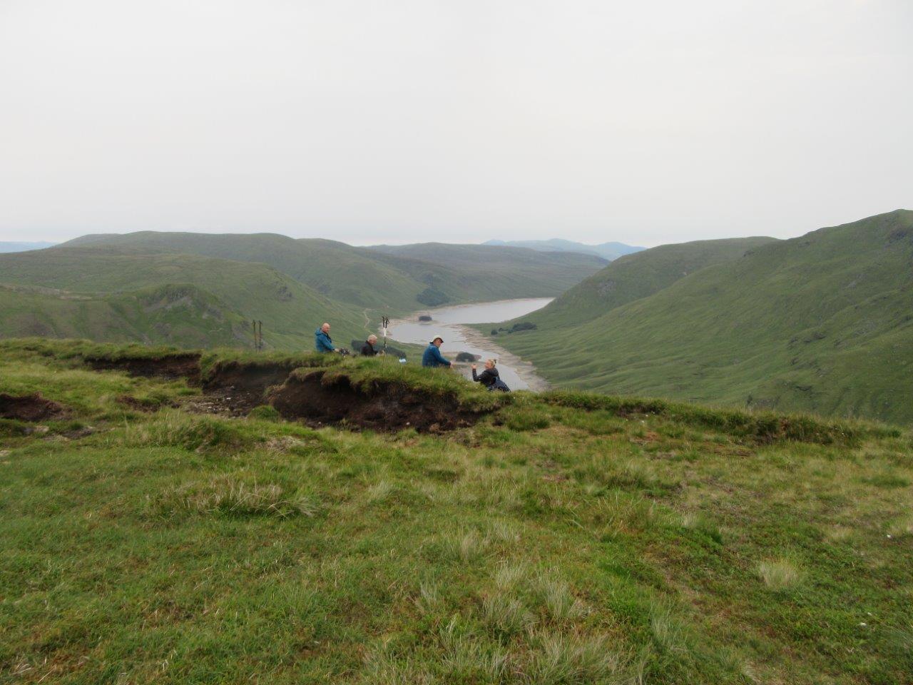
7 members attended, meeting at the top of Glen Lyon, near Pubil, under the Loch Lyon dam. 6 members took off at 09:25, but were joined later by a 7th member who arrived late. The group climbed steeply to the track above the loch and headed west for 1km before climbing steeply northwards to the bealach below Meal Buidhe (at 907m, one of the highest Corbetts). Ascent was made by the south-east ridge to reach the summit at 12:00, where fantastic views awaited. The hill sits above Rannoch Moor, and offers 360 degree views all round. The group were able to pick out many well-known hills. A descent was made to the bealach via the north ridge, to find the gate! A traverse was made down the Feith Thalain to pick up the next bealach, which was full of peat hags and cloudberries, but luckily dry. Then it was a long climb up to the summit of Sron a' Choire Chnapanich (837m), reached at 14:30. Again this was a superb view point, sitting above Loch An Daimh. The hill was shared with a herd of cattle, sitting on the summit ridge. Descent was by the fence line, then down to the Alt Phubuill to reach a landrover track, which was followed to the road. Then followed a 1km trudge back to the cars reached at 16:30. Weather was dull with a cool gentle breeze (lovely after the previous 2 hot days), but the cloud level was high, so great views were had. A few golden plover were heard and there was a good view of one fairly close by. Distance: 15km. Ascent: 980m.
14 attended (12 members and 2 potential new members). Met at 19:30 at car park at Easthaven. Thankfully, the rain had stopped by then! The group followed the coastal track towards Arbroath, then as they reached Elliot Links, they went down to the beach and headed back along the sand, with some opting to walk along the top of the dunes. Some birdwatching took place, along with much chat. Back at cars at 21:20. Distance : 6.5km.


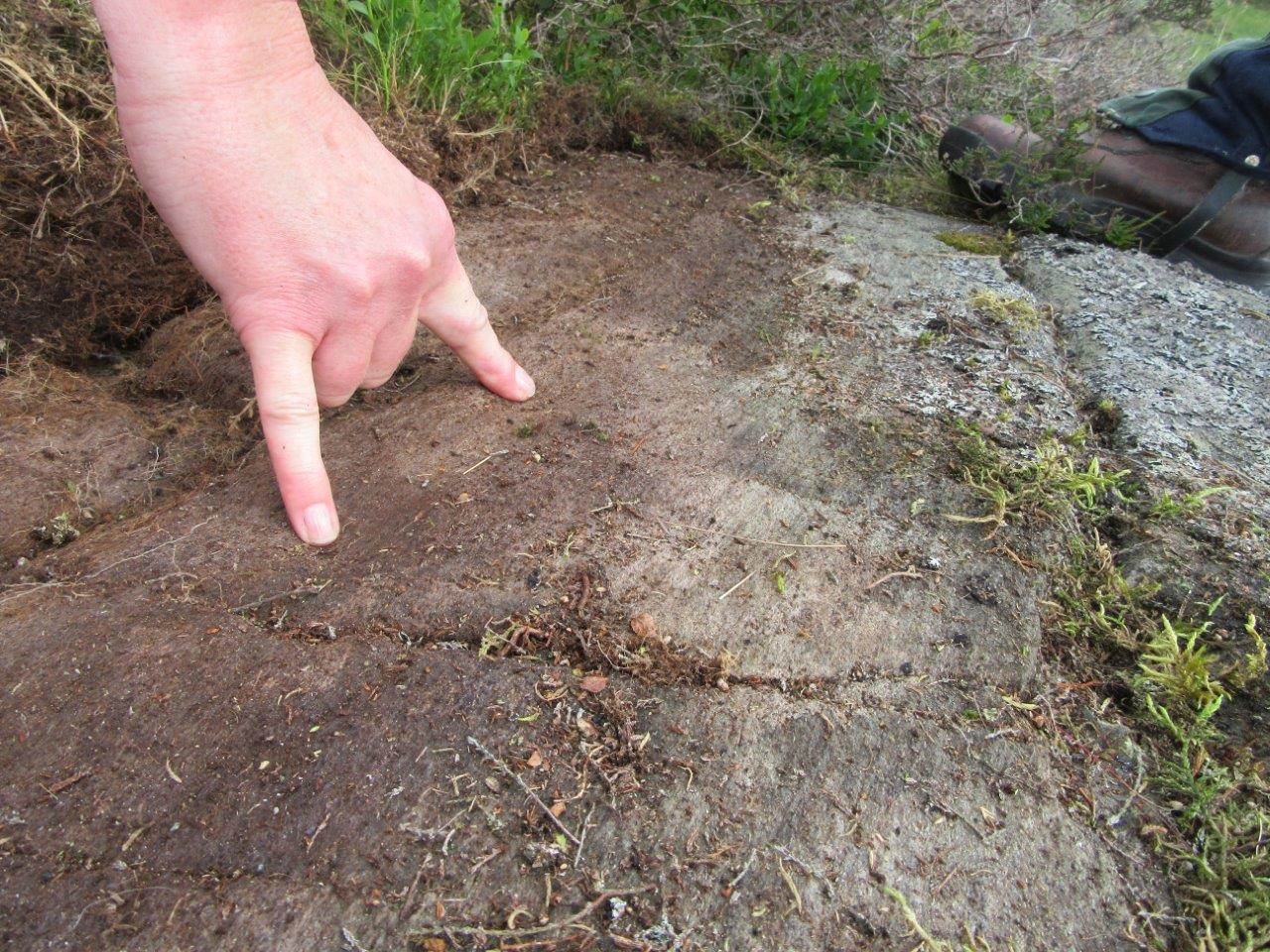
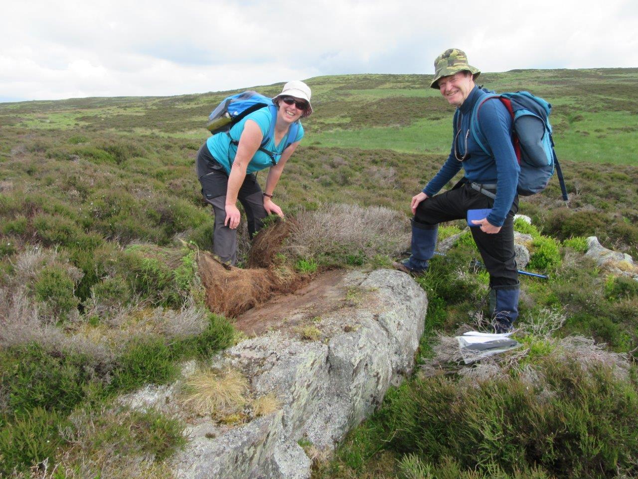
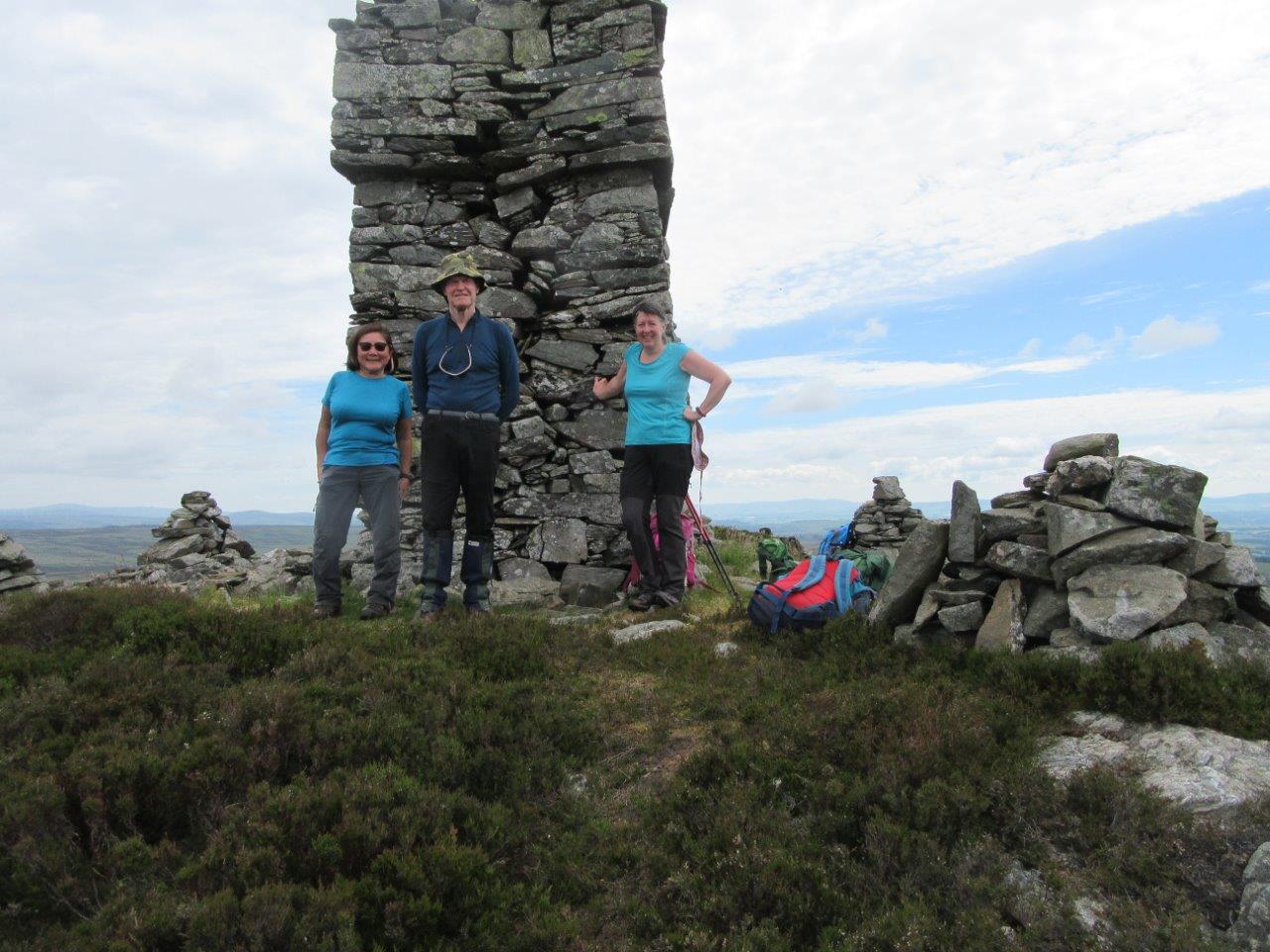
4 members attended. The meet started at the car park at Butterstone village hall, leaving at 09:10. The route started steeply up a farm track to Ledluckie Farm, then carried on through a field of sheep to reach the moors above. Lovely views of the lochs below came into view. The path through the moor had been trampled by cattle, so was quite rough in places. On the way over the moor, the group broke off to search for a cup-marked stone (like on the Carrot Hill evening meeting). It was eventually located. How do people detect these prehistoric markings and record them? A brief stop was had near Craigend before climbing through deep bracken and heather then picking up a rough track to the monument (built in 1830), which stands 3m high or so. This was the land of the flies! Hot, sticky and thousands of them! Real character building stuff for the team! Rucsacs were dropped here and we wandered over to the top at 487m - no obvious track through the deep heather. Returned to monument for a long lunch break with stunning views all around. Return route was by the road to Riechip then onto Butterstone, reaching the cars at 14:20. Many wild flowers were found and named, and birdlife spotted included stonechat, wheatear, curlew and oyster catcher. A lazy day in hot humid conditions. 10km, ascent 430m.
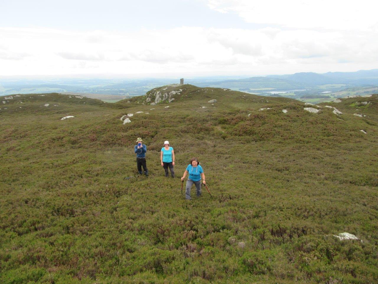
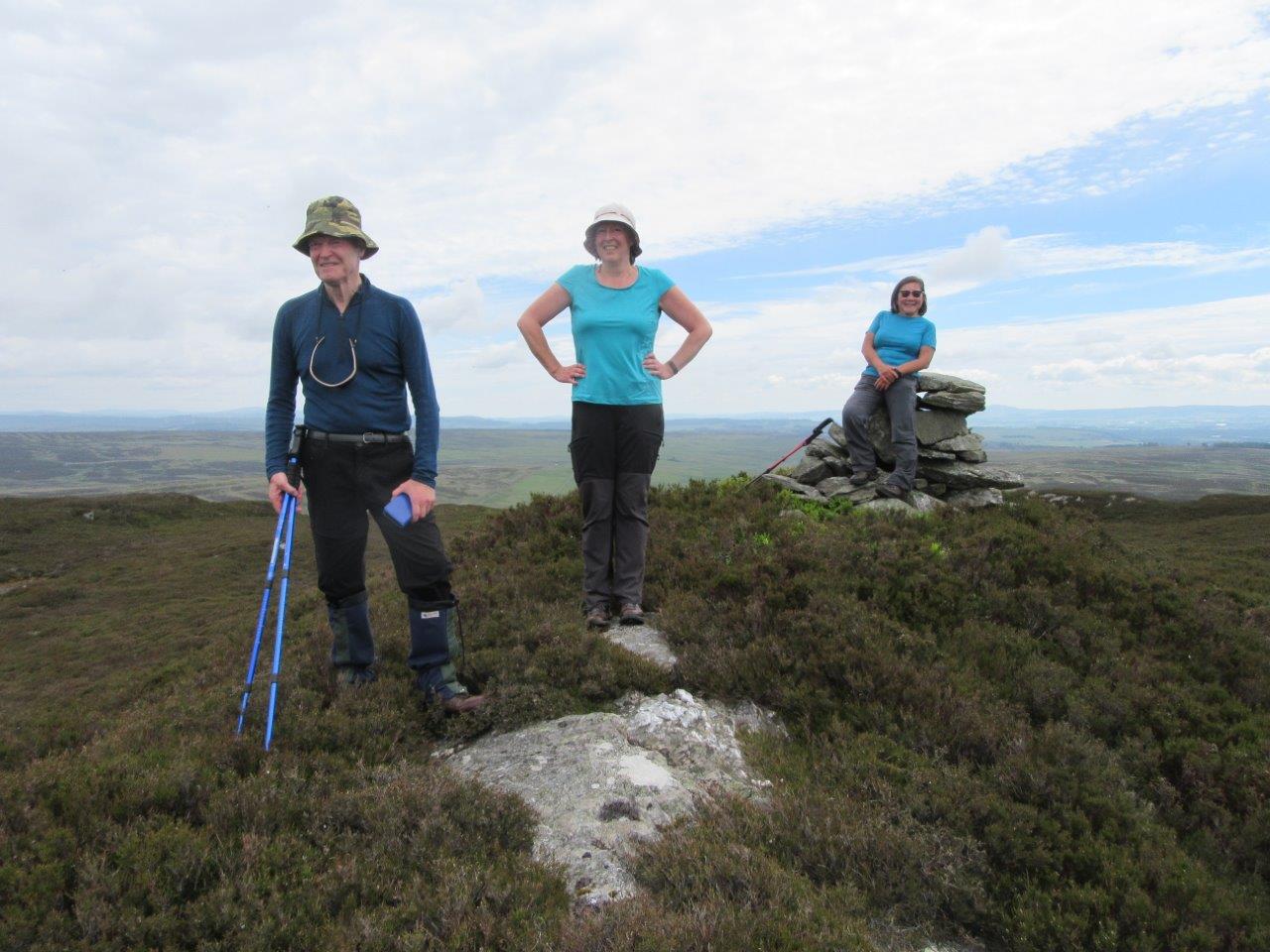
6 members attended. Travelled individually and met at car park at Inverey at 08:00. Set off by bike at 08:15. The ride-in climbs 230m
and about half of that is in the first 2km. The group spread out, headed by a member on an electric bike! We reached the ruined Altanour
Lodge and set off walking a 09:40. After a wee bit of a wrong route, we followed the burn up to the foot of Beinn Iutharn Beag (963m), a Munro Top
and climbed steeply to the summit, which was just below the clouds. A short descent followed with views of Loch nan Eun. Weather was rather
wet by this time with rain blowing in on a SW wind. The group climbed to Mam nan Carn (986m), another Munro Top, followed by a drop into a bealach
where we stopped for a early lunch. The group carried on to the summit of Beinn Iutharn Mhor (1045m), which was one attendee's 200th Munro. By this time the
rain had cleared and good views were appearing all around. The descent route followed down the NE ridge, with a very steep nose at the end.
Various tracks were followed back through the heather to the bikes at 14:45. Left at 15:00 and back at the cars at 15:45.
Cycle: 9km (and 230m ascent) on way in and 9km out, downhill. Walk: 13km, 770m ascent.
10 or so ptarmigan spotted.
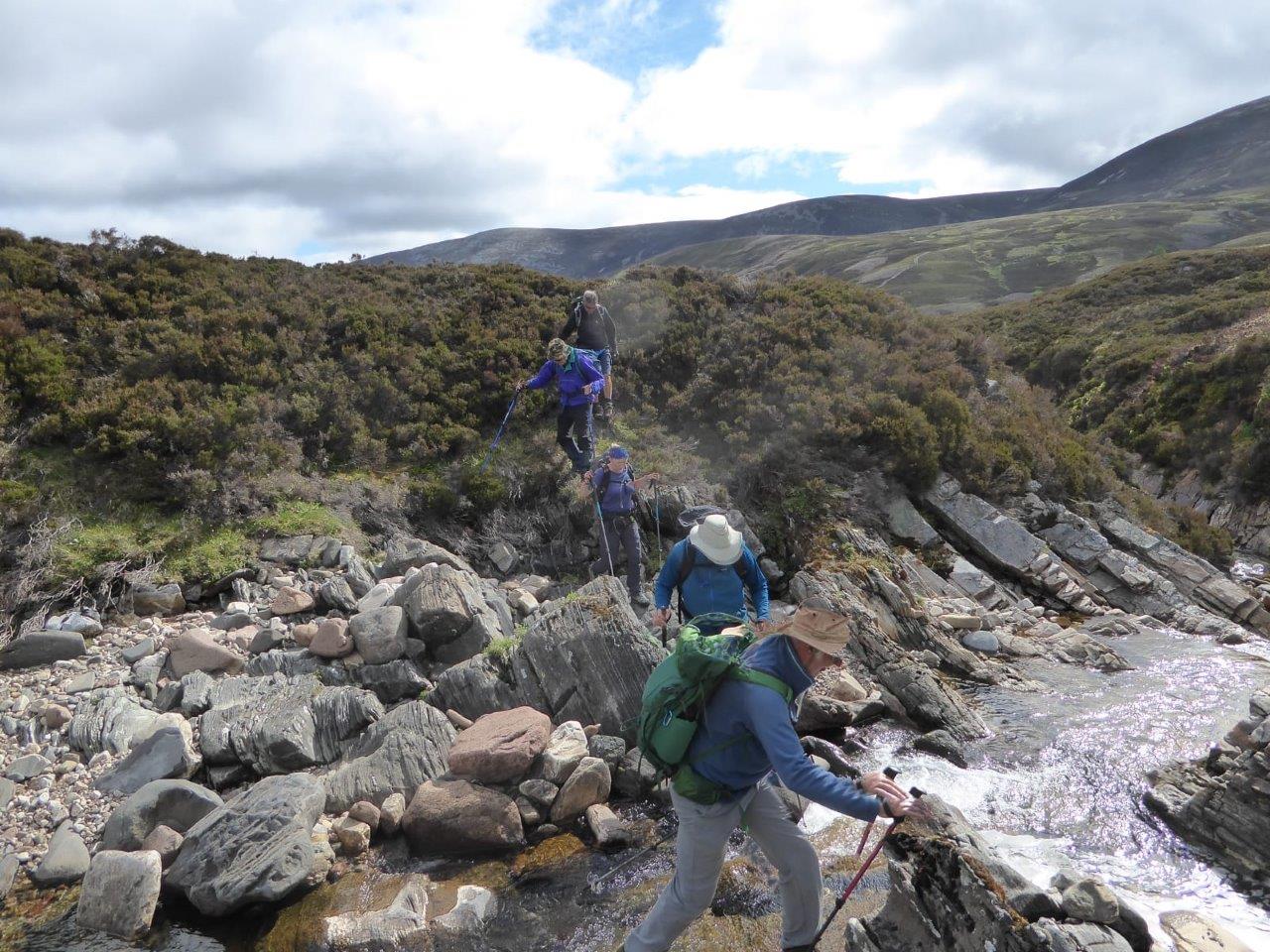
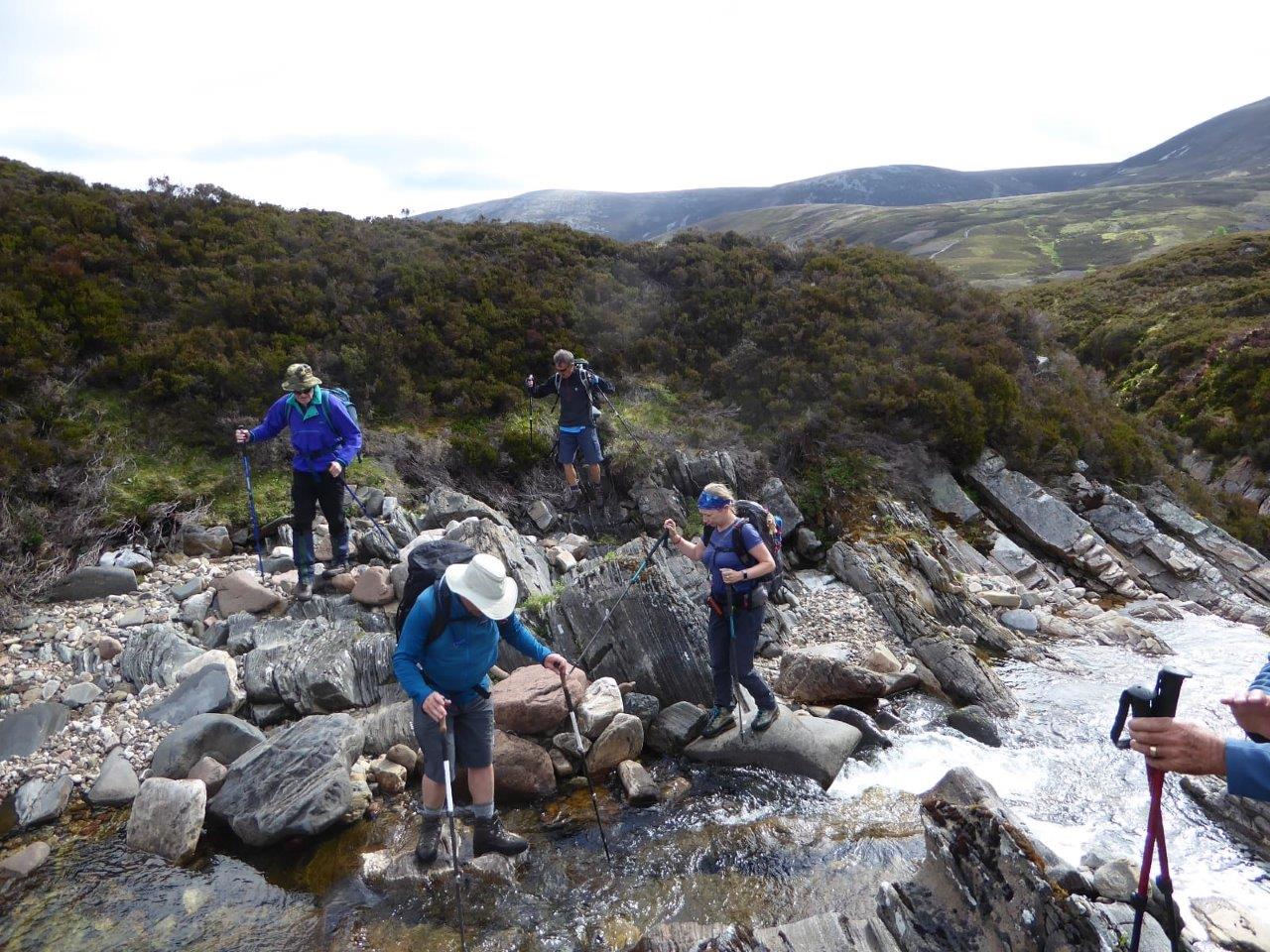
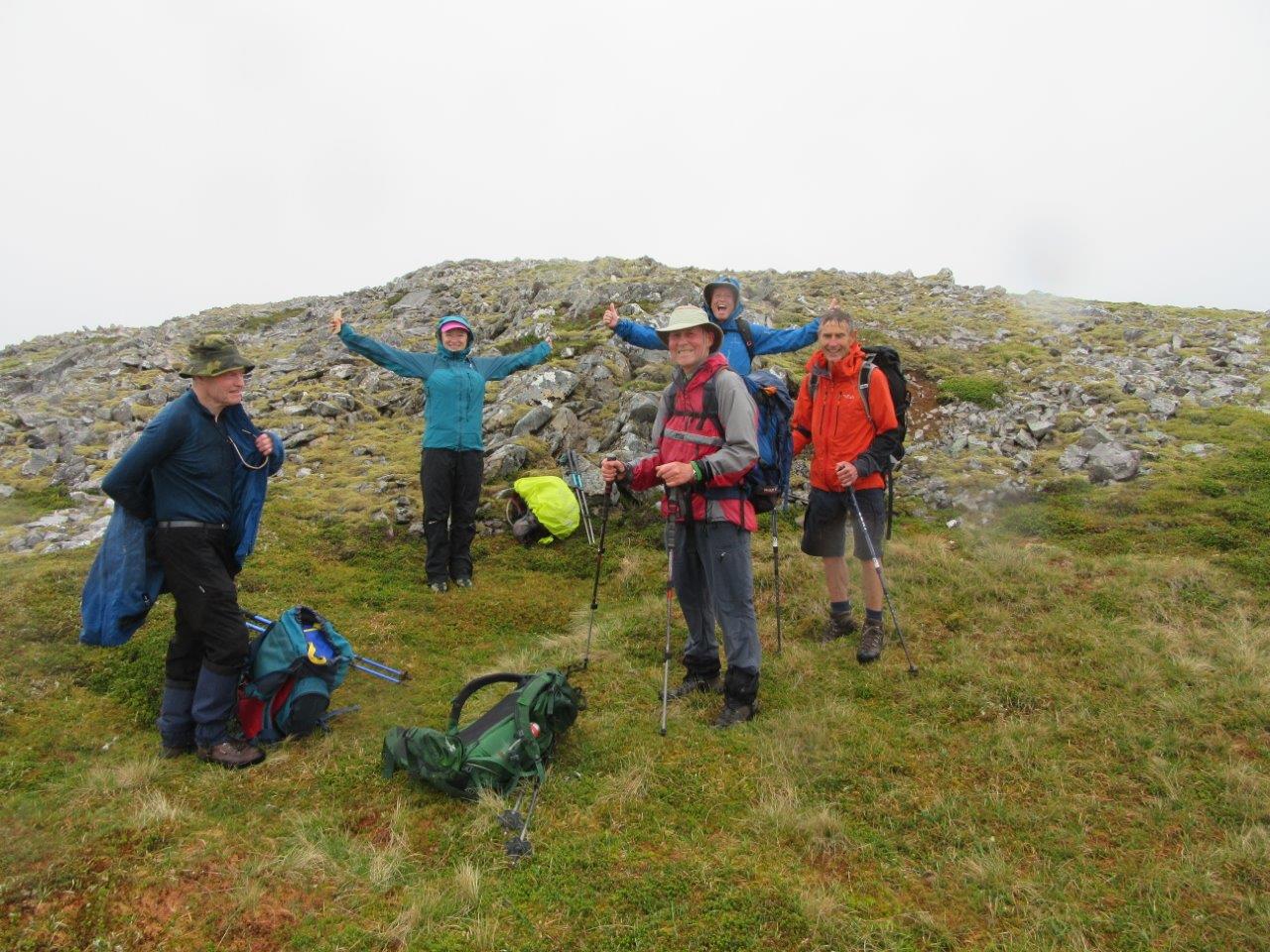
19 members attended (including all 3 honorary members). Met at the car park at Carrot Hill, NO 464 409, at 7:30pm. Unfortunately the haar had rolled in and the views were somewhat limited. It was a gentle climb up to the trig point on Carrot Hill. From there the group followed the old quarry road to Dodd Hill with its big cairn. Most of the group descended southwards to have a look at the old quarry, from which Carmylie slate was extracted. On the way back, this group plunged into knee-deep heather to search for a prehistoric cup-marked stone. Using GPS we were able to find the 10m square and eventually found the stone, which was only discovered in 2015. Details can be found on the internet. The last group entered details in the geocache found at the stone, and reached the cars about 21:40. A successful night - just a pity about the misty conditions.


11 members met in the car park at Invermark at 08:30. The meet was conducted as to MS guidelines and an attendance register was taken. The weather was remarkably calm and mild as the group set off at 8.40, however the first sharp shower of the day was experienced within the first 200 metres and had a few members scurrying for waterproofs. The group made good progress along the track past Loch Lee and onwards to the footbridge where the route leaves the track and branches left towards the Falls of Unich. The going became very boggy underfoot from this point due to all the recent rain but on the other hand the waterfall was looking very impressive as a result. After a photo stop the walkers started the long climb up towards the falls of Damff. If anything, this waterfall looked even more impressive. A short distance further on the group crossed the footbridge to the east side of the burn and as the weather was showing signs of turning again, a decision was made to stop for an early lunch before the rain set in. This proved to be a good decision as the walkers were pelted with hailstones just as they were setting off again. Thankfully this did not last long but there was a noticeable drop in the temperature as the path levelled off across the top of Cairn Lick. The cloud stayed clear of the tops to allow good views along Loch Lee and beyond to Mount Keen. On the descent down the Shank of Inchgrundle one member unfortunately stumbled and sustained some nasty facial injuries. After some rudimentary repairs he was able to gamely carry on. The route rejoined the outward path at the west end of Loch Lee and the walkers were back at the car park by 14:30. Wildlife spotted included lapwings, dippers, thrushes, tree creepers and one brief glimpse of a mountain hare.
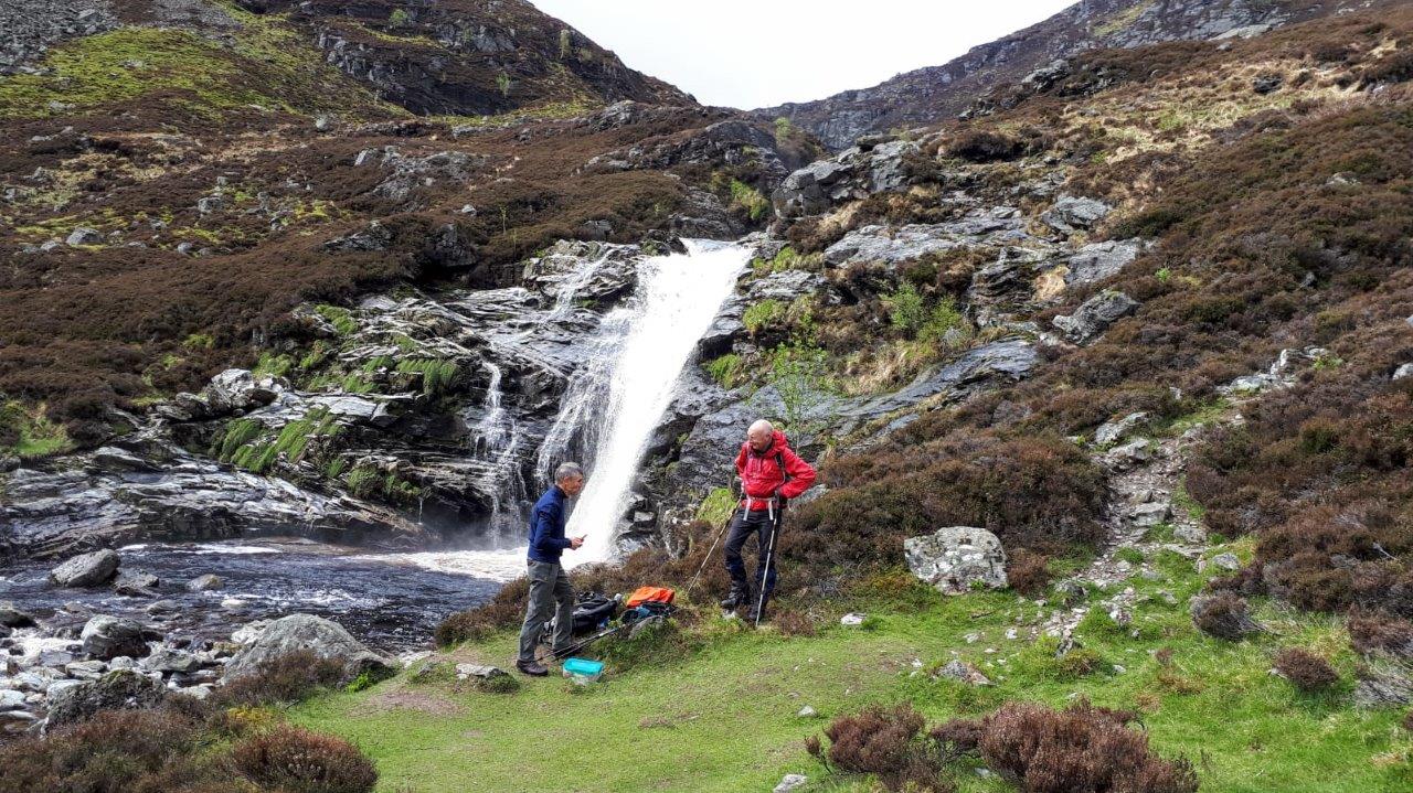
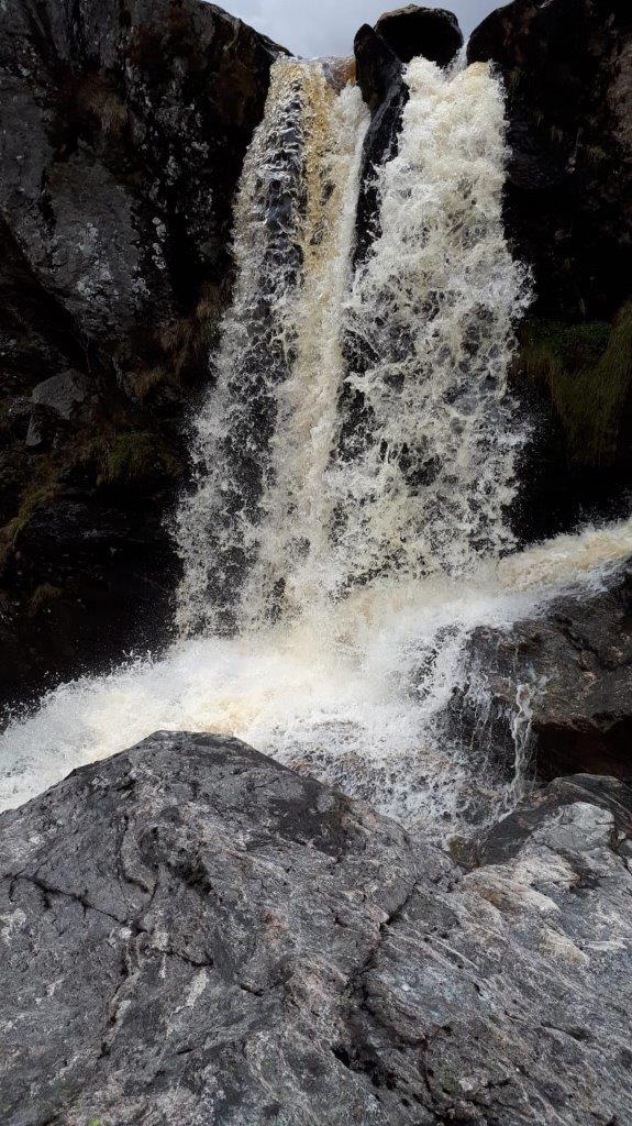
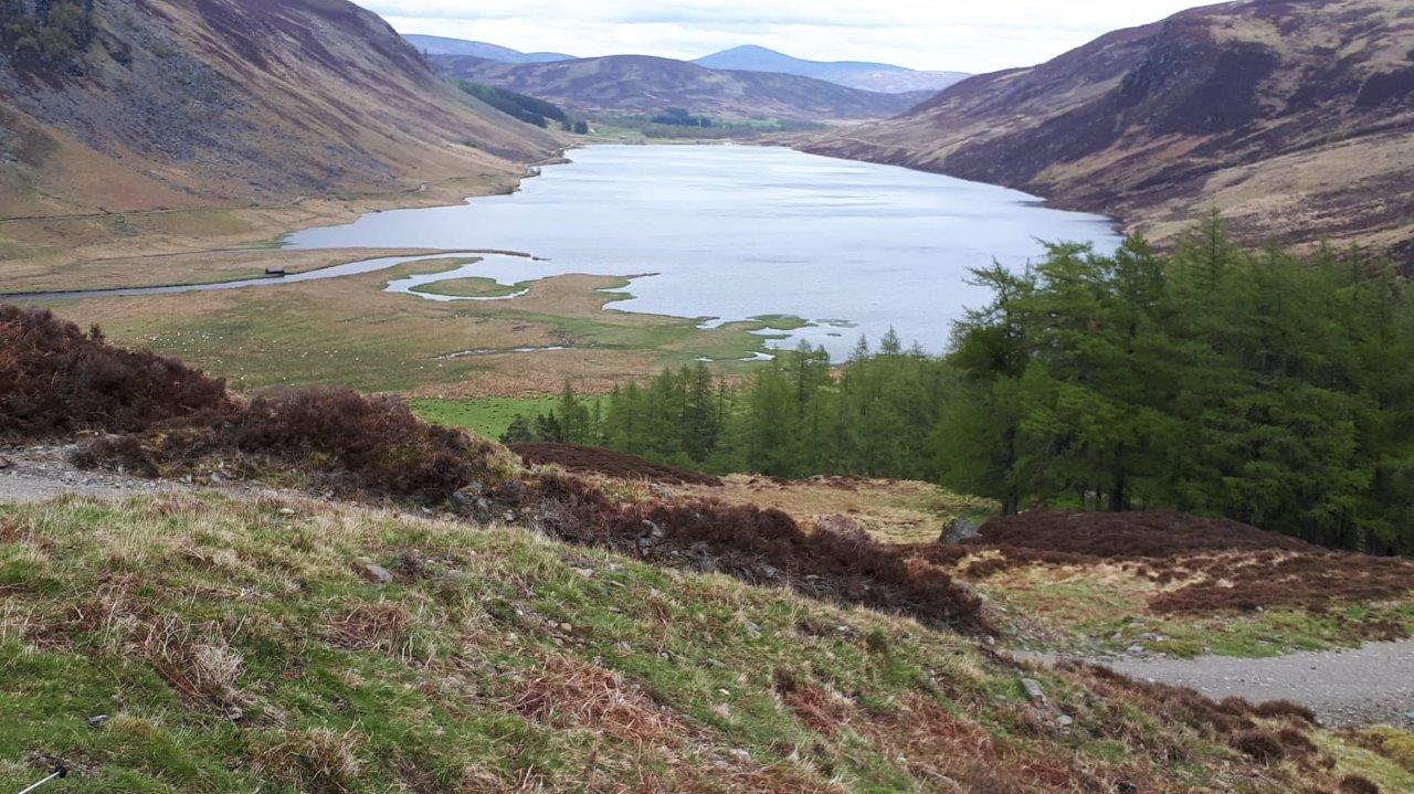
11 members met in the car park by the school at 19:30. The meet was conducted as to MS guidelines and an attendance register was taken. There was a little rain to start with, but it cleared up during the walk. Steve led us up the west side of the South Esk to a new bridge and then back by the east side, visiting the Airlie family graveyard before returning to the cars at 21:30. The pace was slow and we had lots of stops for a blether. Common sandpipers and grey wagtails were spotted during the walk.

The was the first meet since the pandemic started. 15 members attended in 2 groups. After presentation of the Mather Neep to Clare by Mr W. Mather himself, a group of 8 left from the top
of Glen Lethnot at 09:15, contouring round the side of Hill of Mondurran and climbing on easy slopes to the bealach below Mount Sned (621m) on then west to Hill of Glansie (726m).
They stopped for lunch at Dog Hillock, then cut north to Ruragh (735m) on a landrover track before turning east to Hill of Berran then
dropped steeply back to the cars. 13.4km, 610m ascent.
The other group 7 members attended. The group left from the big car park just north of Rottal at 09:05. They climbed steeply up to Manywee (685m), then dropped
and climbed over Finbracks (756m), stopping for a snack on the eastern side. Then it was then a traverse over rough ground to Ruragh (735m), reached at 12:00, hoping
to meet up with the Lethnot group.
Here, they turned north towards White Hill. A stop was made for lunch was down at the bealach then a long climb up to White Hill (778m). From there, they picked up a track
and descended on it
almost back to the cars before making the mistake of heading to the cars directly over boggy difficult ground and a shoogly fence! Weather was dry most of the way
with a cool wind. Good views to the east and south, but he higher hills to the north were capped in cloud, and the group experienced some rain and sleet blowing through on White Hill.
Everyone enjoyed
being out again, though the walking was quite rough in places. Several golden plover were spotted and also many mountain hares, still changing from their winter coats.
15.6km 845m ascent. Back at the cars at 15:00.
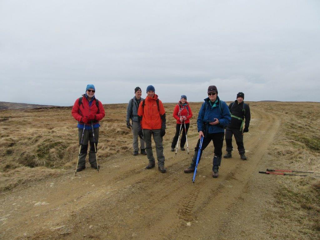
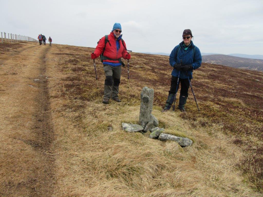
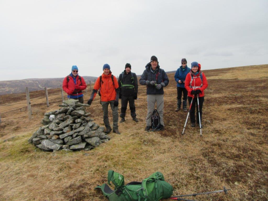
Online By Zoom, 19:30. 22 members attended, including a new member, Colin Scott, who was welcomed by Linda.
This was a modified version of our usual Members Night. Each member was restricted to 3 photos instead of the usual 10,
because of being online. Willie Mather had proposed that members should choose photos that best portray the club to that person and which
show something memorable to them. Each person will then explain why they have chosen each of their photos. Willie was to be
the judge.
The event was very successful with 13 groups of 3 photos, plus a few extras at the end. It took three 40 minute Zoom sessions to complete.
Willie chose Clare as the winner because of her narrative, but thought that everyone was really a winner. It showed the great camaraderie of the club
and lots of great memories of days together. Clare is to be presented with a turnip mug and a neep!


11:00. The full committee meets to discuss resumption of walks following proposed relaxion of the Covid-19 rules and guidelines, by the Scottish Government and by Mountaineering Scotland. Colin and Ray volunteer to become Covid Officers. An attendance register and a risk assessment will be prepared by Colin. Mel to work on an information sheet summarising our guidelines.
By Zoom, 19:30. 24 members attended.
All 6 proposals were approved. So in summary:-
By Zoom, 19:30. Judged by Graham Chalmers. A fair number of members attended.
20 members had submitted 96 photos in total, which were sent to the judge with alphabetic codes to identify them.
The meeting covered three 40 minute Zoom sessions. Graham discussed each of the 96 photos, and then presented the results.
Photograph of the Year - The Brian Coull Memorial Trophy
1st: Colin (G2)
2nd: Nicola H (M4)
3rd: Fleur (S4)
Best Collection of Photographs of the Year : The Norrie Trophy
1st Fleur (S1, S2, S4)
2nd: Jackie (T1, T2, T3)
3rd: Roy (Q2, Q3, Q4)
The winning individual photos can be viewed
here
The winning best collection photos can be viewed
here
All 96 entries can be viewed here
Use the "i" button to see information about the photo, incuding who took it.
17:30 by Zoom for 40 minutes. 15 members attended for a chat.
One year on from the walk at Bennachie and high tea at Edzell.
Our president, Linda, narrated a poem.
The President’s Pandemic Lament
The High Tea meet is here again
And here we are at hame
Socialising on a screen.
It’s really not the same.
Thinking about the club’s last year,
Trying hard to find the good bits.
I feel I really must conclude – and I’m sorry if you think it’s rude -
That last year was ….. the pits!
No meets since March, outdoors or in,
Fun weekends but a dream.
Instead it’s e-mail, website, Zoom.
T’would dump you in the deepest gloom
And make you want to scream.
Well now it’s 2021.
Things aren’t better yet,
But the vaccine’s here and now there’s hope
That things will better get.
Our club will meet again this year.
Quite when we don’t yet know,
But when that time comes one thing’s sure,
We’ll all be set to go!!
Download here
26 members attended at various stages during the meeting. Sam Riddell gave a presentation which gave an interesting insight into the very important role and work of the Scottish Charity Air Ambulance (SCAA).
It currently runs 2 helicopters. Sam explained how it was organised and how it runs alongside the government system.
He also took us through a simulated call-out in a short video. More details can be found on their web site.
After the presentation there was time for a general chat among members.